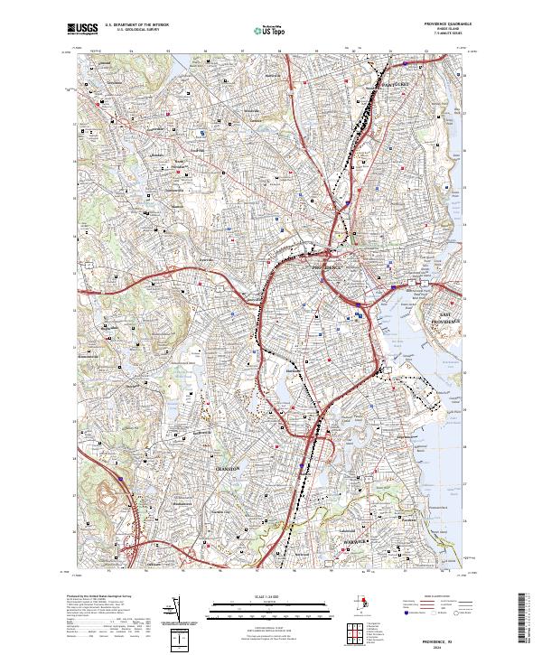
2024 Map of Providence
USGS Topo · Published 2024About this map
Providence serves as the dense urban core of this 2024 landscape, where the confluence of the Woonasquatucket River and Moshassuck River meets the head of the Providence River. The city’s institutional history is deeply etched into the street grid, from the sprawling campus of Brown University to the Rhode Island School of Design. To the north and west, established industrial and residential neighborhoods like Olneyville, Lymansville, and Centerdale follow the river valleys, while Pawtucket sits at the northern edge. The map is particularly rich for genealogists, documenting numerous historic interments such as the North Burial Ground and the Quaker Burial Ground. The shoreline remains a focal point of activity, marked by Providence Harbor and the navigational hazard of Green Jacket Shoal, illustrating the enduring maritime character of the Seekonk River and its surrounding reaches.
Find a feature on this map
206 named features on this map. Tap any name to fly to it.
Don’t see what you’re looking for? This feature index may not catch every label — zoom into the map to look around manually.
Map Details
Editions of this 2024 Providence Map
This is the sole edition of this map. No revisions or reprints were ever made.
Other maps of this area

1887 · Providence
USGS Topo · 1:62,500

1889 · Providence
USGS Topo · 1:62,500

1889 · Burrillville
USGS Topo · 1:62,500

1890 · Narragansett Bay
USGS Topo · 1:62,500

1890 · Kent
USGS Topo · 1:62,500

1892 · Narragansett Bay
USGS Topo · 1:62,500

1894 · Burrillville
USGS Topo · 1:62,500

1894 · Kent
USGS Topo · 1:62,500

1894 · Providence
USGS Topo · 1:62,500

1915 · Burrillville
USGS Topo · 1:62,500