
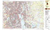
1957 Map of Providence
USGS Topo · Published 1957About this map
Providence serves as the metropolitan anchor for this mid-century survey of southern New England's coastal reaches. The map illustrates the region's heavy reliance on its maritime geography, with the urban industrial centers of Pawtucket and Fall River clustered around Narragansett Bay and Mount Hope Bay. Coastal defense and aviation are prominent features of the Cold War era landscape, noted by the presence of Quonset Point Naval Air Station and Otis Air Force Base, alongside legacy fortifications like Fort Adams guarding Newport Harbor.
Find a feature on this map
208 named features on this map. Tap any name to fly to it.
Don’t see what you’re looking for? This feature index may not catch every label — zoom into the map to look around manually.
Map Details
Editions of this 1957 Providence Map
This is the sole edition of this map. No revisions or reprints were ever made.
Historical Maps of Taunton Through Time
18 maps found

1887 Providence
Providence County, RI

1889 Providence
Providence County, RI
1894 Providence
Providence County, RI

1921 Providence
Providence County, RI

1935 Providence
Providence County, RI
1939 Providence
Providence County, RI

1943 Providence
Providence County, RI
1947 Providence
Providence County, RI

1948 Providence
Providence County, RI
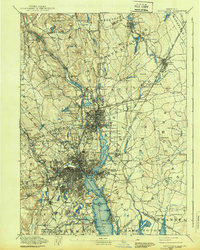
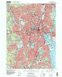
1957 Providence
Providence County, RI
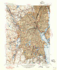
1957 Providence
Providence County, RI

1958 Providence
Providence County, RI

1963 Providence
Providence County, RI

1979 Providence
Providence County, RI

1984 Providence
Providence County, RI
1987 Providence
Providence County, RI
1996 Providence
Providence County, RI
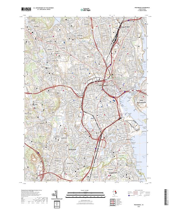
2024 Providence
Providence County, RI