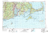
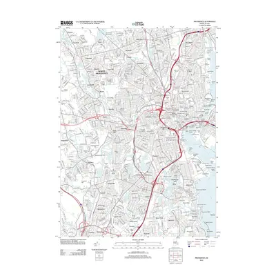
1939 Map of Providence
USGS Topo · Published 1947About this map
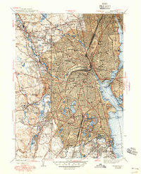
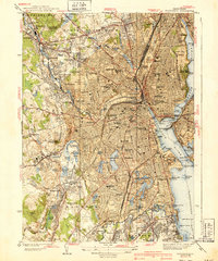
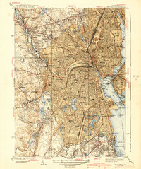
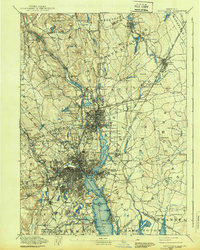
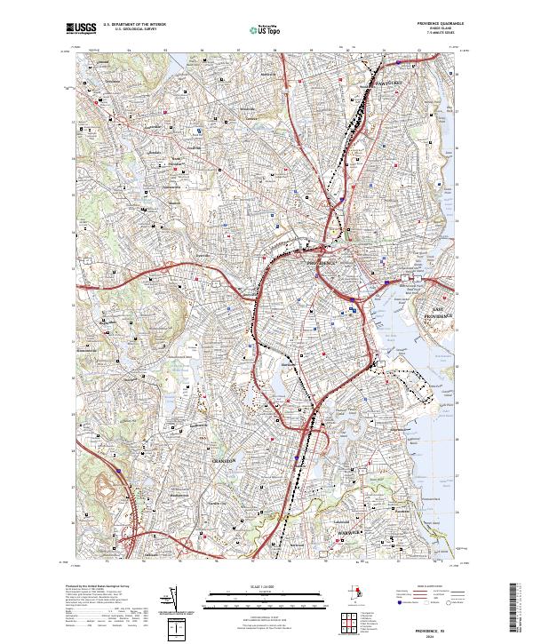
Providence is depicted here as a dense industrial and academic hub during the mid-1930s, defined by its complex waterfront and institutional landmarks. The Seekonk River and Providence River serve as the city's maritime arteries, lined with infrastructure like the Wilkes Barre Pier and City Wharf. The map reveals a high concentration of healthcare and social history sites, including the Butler Hospital, Chapin Hospital, and the Dexter Asylum. Academic life is anchored by Brown University, Pembroke College, and Providence College, while the State Capitol stands near the geographic center of the urban grid.
Find a feature on this map
128 named features on this map. Tap any name to fly to it.
Don’t see what you’re looking for? This feature index may not catch every label — zoom into the map to look around manually.
Map Details
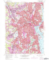
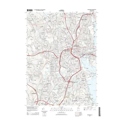
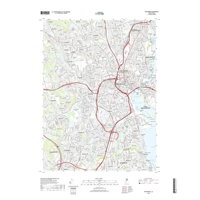
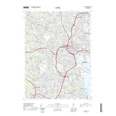
Editions of this 1939 Providence Map
3 editions found
Historical Maps of Providence Through Time
22 maps found

1887 Providence
Providence County, RI

1889 Providence
Providence County, RI
1894 Providence
Providence County, RI

1921 Providence
Providence County, RI

1935 Providence
Providence County, RI
1939 Providence
Providence County, RI

1943 Providence
Providence County, RI
1947 Providence
Providence County, RI

1948 Providence
Providence County, RI

1957 Providence
Providence County, RI
1957 Providence
Providence County, RI

1958 Providence
Providence County, RI

1963 Providence
Providence County, RI

1979 Providence
Providence County, RI

1984 Providence
Providence County, RI
1987 Providence
Providence County, RI
1996 Providence
Providence County, RI
2012 Providence
Providence County, RI
2015 Providence
Providence County, RI
2018 Providence
Providence County, RI
2021 Providence
Providence County, RI
2024 Providence
Providence County, RI