
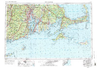
1958 Map of Providence
USGS Topo · Published 1958About this map
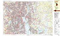
The industrial centers of Providence, Fall River, and New Bedford anchor this mid-century look at Southern New England's maritime landscape. The map captures the region's dense coastal development and strategic military importance during the late 1950s, highlighting several coastal defenses including Fort Adams and Fort Rodman. Significant infrastructure is visible, from the tracks of the New York, New Haven and Hartford RR to the Quonset Point Naval Air Station on the shore of Narragansett Bay.
Find a feature on this map
294 named features on this map. Tap any name to fly to it.
Don’t see what you’re looking for? This feature index may not catch every label — zoom into the map to look around manually.
Map Details
Editions of this 1958 Providence Map
This is the sole edition of this map. No revisions or reprints were ever made.
Historical Maps of Taunton Through Time
18 maps found

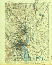
1887 Providence
Providence County, RI

1889 Providence
Providence County, RI
1894 Providence
Providence County, RI

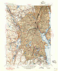
1921 Providence
Providence County, RI

1935 Providence
Providence County, RI
1939 Providence
Providence County, RI

1943 Providence
Providence County, RI
1947 Providence
Providence County, RI

1948 Providence
Providence County, RI

1957 Providence
Providence County, RI
1957 Providence
Providence County, RI
1958 Providence
Providence County, RI

1963 Providence
Providence County, RI

1979 Providence
Providence County, RI

1984 Providence
Providence County, RI
1987 Providence
Providence County, RI
1996 Providence
Providence County, RI
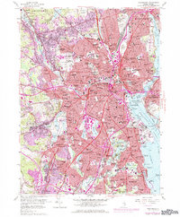
2024 Providence
Providence County, RI