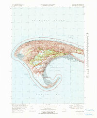
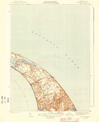
1972 Map of Provincetown
USGS Topo · Published 1978About this map
Provincetown anchors the tip of the Cape in this 1970s revision, showcasing a landscape defined by its coastal geography and the establishment of the Cape Cod National Seashore. The map highlights the transition of the outer Cape toward conservation and recreation, with the Province Lands Visitor Center and Provincetown Municipal Airport situated among the shifting dunes. The town's historic maritime identity remains evident through landmarks like the Lighthouse at Race Point and the Coast Guard Sta.
Find a feature on this map
39 named features on this map. Tap any name to fly to it.
Don’t see what you’re looking for? This feature index may not catch every label — zoom into the map to look around manually.
Map Details
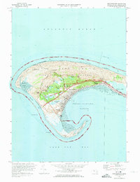
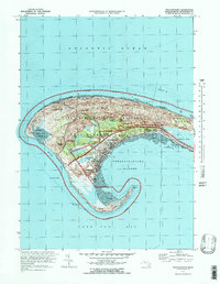
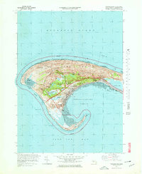
Editions of this 1972 Provincetown Map
4 editions found
Other maps of this area

1887 · Wellfleet
USGS Topo · 1:62,500

1887 · Provincetown
USGS Topo · 1:62,500

1889 · Provincetown
USGS Topo · 1:62,500

1889 · Wellfleet
USGS Topo · 1:62,500

1893 · Wellfleet
USGS Topo · 1:62,500

1898 · Provincetown
USGS Topo · 1:62,500

1942 · Cape Cod Bay
USGS Topo · 1:125,000

1944 · Provincetown
USGS Topo · 1:31,680
1944 · North Truro
USGS Topo · 1:31,680

1947 · Providence
USGS Topo · 1:250,000