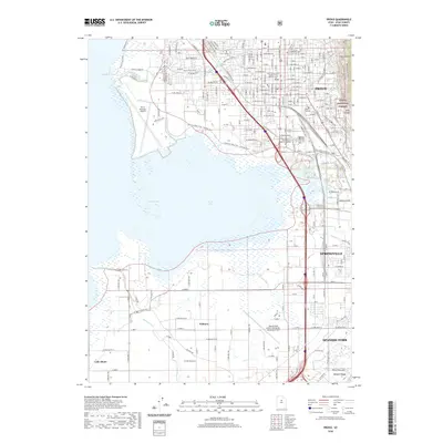
2020 Map of Provo
USGS Topo · Published 2020About this map
Utah Lake and the wetlands of Provo Bay dominate this 2020 landscape, where the urban expansion of Provo meets the dramatic rises of the Wasatch Range. The city's modern infrastructure is well-defined, featuring the Utah County Court House and educational centers like Provo College. Transportation and recreation networks are deeply integrated into the terrain, from the Provo Municipal Airport on the lake's edge to the extensive trail systems such as the Provo River Parkway and the Bonneville Shoreline Trail. To the south, the map details the smaller settlements of Palmyra and Lake Shore amidst a grid of agricultural land and river systems. The transition from the developed valley to the protected wilderness of the Uinta National Forest is marked by steep features like Slide Canyon and Slate Canyon, illustrating the geographical constraints that have shaped the growth of the Spanish Fork and Springville areas.
Find a feature on this map
38 named features on this map. Tap any name to fly to it.
Don’t see what you’re looking for? This feature index may not catch every label — zoom into the map to look around manually.
Map Details
Editions of this 2020 Provo Map
This is the sole edition of this map. No revisions or reprints were ever made.
Other maps of this area

1885 · Salt Lake
USGS Topo · 1:250,000

1948 · Spanish Fork
USGS Topo · 1:24,000

1948 · Orem
USGS Topo · 1:24,000

1948 · Orem
USGS Topo · 1:62,500

1948 · Springville
USGS Topo · 1:24,000

1948 · Provo
USGS Topo · 1:24,000

1948 · Bridal Veil Falls
USGS Topo · 1:24,000

1949 · Provo
USGS Topo · 1:62,500

1949 · Spanish Fork Peak
USGS Topo · 1:24,000

1950 · Orem
USGS Topo · 1:24,000