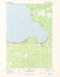
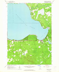
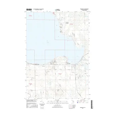
1963 Map of Prudenville
USGS Topo · Published 1978About this map
Houghton Lake defines the landscape of this Roscommon County region, its expansive waters including the prominent East Bay and a shoreline dotted with mid-century development. The village of Prudenville serves as a central hub, flanked by recreation and community landmarks such as Denton Park and the Houghton Lake High School. Further inland, the terrain transitions into the dense woodlands of the Houghton Lake State Forest, where Emery Hill rises above the lowlands and wetlands. Local history is anchored by sites like the Prudenville Cemetery and the Rescommon County Airfield. The map reveals the intricate water network feeding the lake, from The Backus Creek in the north to the southern flow of Knappen Creek and Denton Creek, illustrating the area's significance as a residential and recreational corridor in the early 1960s.
Find a feature on this map
29 named features on this map. Tap any name to fly to it.
Don’t see what you’re looking for? This feature index may not catch every label — zoom into the map to look around manually.
Map Details
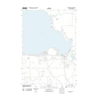
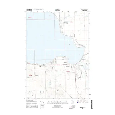
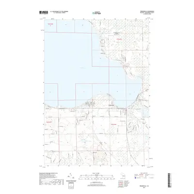
Editions of this 1963 Prudenville Map
2 editions found
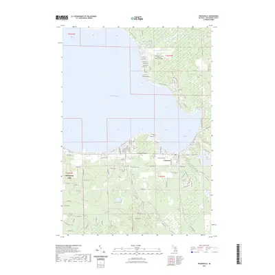
Historical Maps of Prudenville Through Time
6 maps found
Featured Locations
- Denton Township, MI
- Lake Township, MI
- Markey Township, MI
- Roscommon Township, MI
- Prudenville, Denton Township