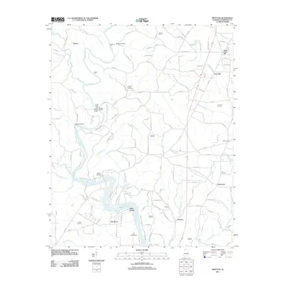
2011 Map of Pruitton
USGS Topo · Published 2011About this map
Shoal Creek and its many tributaries, including Butler Creek and Keithly Branch, define the landscape of this northern Alabama region. The area is characterized by a high density of family and community burial grounds, such as the Emaline Stutts Cemetery, Cauhorn Cemetery, and Oak Hill Cemetery, which serve as vital markers for local genealogical research. In the south, the terrain meets the broad waters of Wilson Lake, where Blowing Spring and Camp Westmoreland sit along the shoreline.
Find a feature on this map
141 named features on this map. Tap any name to fly to it.
Don’t see what you’re looking for? This feature index may not catch every label — zoom into the map to look around manually.
Map Details
Editions of this 2011 Pruitton Map
This is the sole edition of this map. No revisions or reprints were ever made.
Other maps of this area
1905 · Waynesboro
USGS Topo · 1:125,000

1914 · Rogersville
USGS Topo · 1:48,000

1914 · Muscle Shoals
USGS Topo · 1:48,000

1916 · Muscle Shoals
USGS Topo · 1:62,500

1916 · Rogersville
USGS Topo · 1:62,500
1936 · Light
USGS Topo · 1:24,000
1936 · Loretto
USGS Topo · 1:24,000
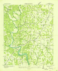
1936 · Pruitton
USGS Topo · 1:24,000
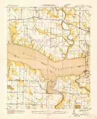
1936 · Wheeler Dam
USGS Topo · 1:24,000
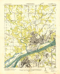
1936 · Florence
USGS Topo · 1:24,000