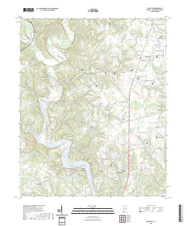
2024 Map of Pruitton
USGS Topo · Published 2024About this map
Wilson Lake defines the southern boundary of this Lauderdale County landscape, where the waters of Shoal Creek and the Saint Florian Branch flow toward the Tennessee River system. This contemporary survey of the region north of Florence captures a rural landscape defined by historic family-named settlements like Pruitton and Green Hill. The area is densely marked with family cemeteries and small community centers, including the Fisher-Stutts Cem, Emmaline Stutts Cem, and Henry Stutts Cem, reflecting deep-rooted generational ties to the land. Near the lake, the community of Bailey Springs remains a notable landmark, while the town of St. Florian sits in the southwest corner. The terrain is dissected by numerous hollows, such as Happy Hollow and Williams Hollow, and several significant springs like Blowing Spring and Brotherick Spring, which continue to feed the local creek network including Brush Creek and Sixmile Creek.
Find a feature on this map
163 named features on this map. Tap any name to fly to it.
Don’t see what you’re looking for? This feature index may not catch every label — zoom into the map to look around manually.
Map Details
Editions of this 2024 Pruitton Map
This is the sole edition of this map. No revisions or reprints were ever made.
Other maps of this area

1905 · Waynesboro
USGS Topo · 1:125,000

1914 · Rogersville
USGS Topo · 1:48,000

1914 · Muscle Shoals
USGS Topo · 1:48,000

1916 · Muscle Shoals
USGS Topo · 1:62,500

1916 · Rogersville
USGS Topo · 1:62,500

1936 · Light
USGS Topo · 1:24,000

1936 · Loretto
USGS Topo · 1:24,000

1936 · Pruitton
USGS Topo · 1:24,000

1936 · Wheeler Dam
USGS Topo · 1:24,000

1936 · Florence
USGS Topo · 1:24,000