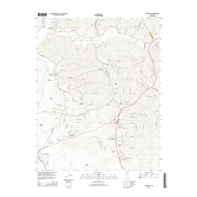
2015 Map of Prunedale
USGS Topo · Published 2015About this map
The coastal lowlands and hills of northern Monterey County are defined by the intricate waterways of Elkhorn Slough and Moro Cojo Slough. In this part of California, the landscape transitions from the agricultural flats near Castroville to the residential canyons of Prunedale. The map illustrates a high density of named canyons such as Vierra Canyon, Langley Canyon, and Berta Canyon, which highlight the topographical complexity of the region. Historically significant sites like Hambey Cemetery and local landmarks like Schneider Hill provide points of interest for genealogists and local historians. The proximity of Merritt Lake and Carneros Cr further emphasizes the watershed's influence on the development of communities like Las Lomas and Oak Hills.
Find a feature on this map
146 named features on this map. Tap any name to fly to it.
Don’t see what you’re looking for? This feature index may not catch every label — zoom into the map to look around manually.
Map Details
Editions of this 2015 Prunedale Map
This is the sole edition of this map. No revisions or reprints were ever made.
Other maps of this area

1910 · Salinas
USGS Topo · 1:31,680

1912 · Salinas
USGS Topo · 1:62,500

1912 · Capitola
USGS Topo · 1:62,500

1913 · Monterey
USGS Topo · 1:62,500

1914 · Capitola
USGS Topo · 1:62,500

1915 · San Juan Bautista
USGS Topo · 1:48,000

1917 · San Juan Bautista
USGS Topo · 1:62,500

1939 · San Juan Bautista
USGS Topo · 1:62,500

1940 · San Juan Bautista
USGS Topo · 1:62,500

1940 · Salinas
USGS Topo · 1:62,500