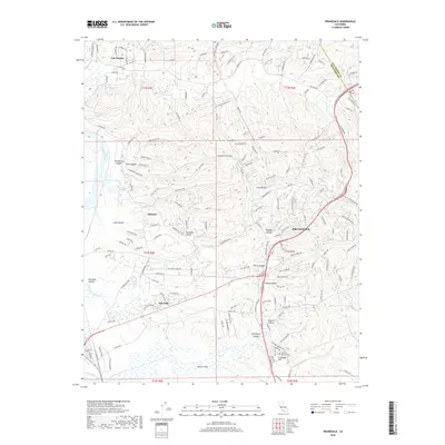
2018 Map of Prunedale
USGS Topo · Published 2018About this map
Prunedale and its complex network of canyons and coastal sloughs are the focal point of this 2018 survey. The landscape is defined by its dramatic relief, where settlements like Las Lomas and Oak Hills are separated by deep topographical features such as Strawberry Canyon, Vierra Canyon, and Pesante Canyon. This modern geographic data highlights the area's transition from the coastal wetlands of Elkhorn Slough and Moro Cojo Slough into the elevated residential pockets of Paradise Valley and Schneider Hill.
Find a feature on this map
152 named features on this map. Tap any name to fly to it.
Don’t see what you’re looking for? This feature index may not catch every label — zoom into the map to look around manually.
Map Details
Editions of this 2018 Prunedale Map
This is the sole edition of this map. No revisions or reprints were ever made.
Other maps of this area

1910 · Salinas
USGS Topo · 1:31,680

1912 · Salinas
USGS Topo · 1:62,500

1912 · Capitola
USGS Topo · 1:62,500

1913 · Monterey
USGS Topo · 1:62,500

1914 · Capitola
USGS Topo · 1:62,500

1915 · San Juan Bautista
USGS Topo · 1:48,000

1917 · San Juan Bautista
USGS Topo · 1:62,500

1939 · San Juan Bautista
USGS Topo · 1:62,500

1940 · San Juan Bautista
USGS Topo · 1:62,500

1940 · Salinas
USGS Topo · 1:62,500