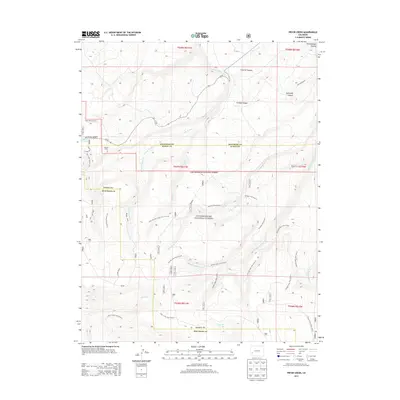
2013 Map of Pryor Creek
USGS Topo · Published 2013About this map
Uncompahgre National Forest dominates this section of the Uncompahgre Plateau at the border of Montrose and Ouray counties. The landscape is defined by a dense network of forest service routes and historical paths, including the Paradox Trail 6126.0 and the Spring Creek Trail 6116.0, which navigate a series of deep drainages. Significant topographic features like Linscott Canyon, Lindsay Canyon, and DeVinney Canyon carve through the high ground, feeding a system of creeks such as E Fork Dry Cr and W Fork Spring Cr.
Find a feature on this map
35 named features on this map. Tap any name to fly to it.
Don’t see what you’re looking for? This feature index may not catch every label — zoom into the map to look around manually.
Map Details
Editions of this 2013 Pryor Creek Map
This is the sole edition of this map. No revisions or reprints were ever made.
Other maps of this area

1909 · Montrose
USGS Topo · 1:125,000

1911 · Montrose
USGS Topo · 1:125,000

1956 · Montrose
USGS Topo · 1:250,000

1956 · Moab
USGS Topo · 1:250,000

1959 · Moab
USGS Topo · 1:250,000

1959 · Montrose
USGS Topo · 1:250,000

1960 · Montrose
USGS Topo · 1:250,000

1960 · Moab
USGS Topo · 1:250,000

1962 · Moab
USGS Topo · 1:250,000
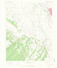
1962 · Montrose West
USGS Topo · 1:24,000