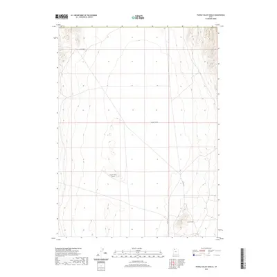
2020 Map of Puddle Valley Knolls
USGS Topo · Published 2020About this map
Puddle Valley dominates this arid landscape in Tooele County, characterized by its broad, flat basin floor. The eastern edge of the quadrangle is defined by the steady rise of Skunk Ridge, where the topography breaks into more complex contouring. This 2020 survey illustrates a region defined primarily by its natural landforms and sparse infrastructure, typical of the Great Basin's wide-open valley systems.
Find a feature on this map
6 named features on this map. Tap any name to fly to it.
Don’t see what you’re looking for? This feature index may not catch every label — zoom into the map to look around manually.
Map Details
Editions of this 2020 Puddle Valley Knolls Map
This is the sole edition of this map. No revisions or reprints were ever made.
Other maps of this area

1885 · Tooele Valley
USGS Topo · 1:250,000

1953 · Tooele
USGS Topo · 1:250,000

1954 · Brigham City
USGS Topo · 1:250,000

1955 · Tooele
USGS Topo · 1:250,000

1958 · Brigham City
USGS Topo · 1:250,000

1962 · Brigham City
USGS Topo · 1:250,000

1968 · Deardens Knoll
USGS Topo · 1:24,000

1968 · Craner Peak
USGS Topo · 1:24,000

1973 · Ripple Valley
USGS Topo · 1:24,000

1973 · Grassy Mountains
USGS Topo · 1:24,000