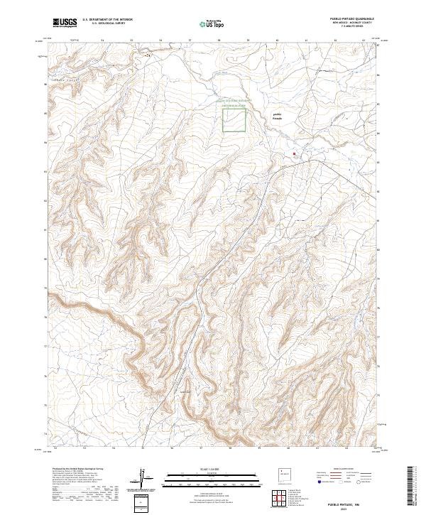
2023 Map of Pueblo Pintado
USGS Topo · Published 2023About this map
Pueblo Pintado stands as the primary focal point of this arid landscape, situated near the eastern reaches of Chaco Culture National Historical Park. The terrain is defined by the significant drainage of Chaco Wash and the complex erosional features of Chaco Canyon and Pueblo Pintado Canyon. These geological formations, alongside W Chaco Mesa, have long influenced human settlement and movement in McKinley County, offering a glimpse into the spatial relationship between ancient sites and modern infrastructure like E Rte 9.
Find a feature on this map
20 named features on this map. Tap any name to fly to it.
Don’t see what you’re looking for? This feature index may not catch every label — zoom into the map to look around manually.
Map Details
Editions of this 2023 Pueblo Pintado Map
This is the sole edition of this map. No revisions or reprints were ever made.
Other maps of this area

1883 · Mt. Taylor
USGS Topo · 1:250,000

1886 · Mt. Taylor
USGS Topo · 1:250,000

1889 · Largo
USGS Topo · 1:250,000

1892 · Mt. Taylor
USGS Topo · 1:250,000

1895 · Largo
USGS Topo · 1:250,000

1899 · Mt. Taylor
USGS Topo · 1:250,000

1954 · Aztec
USGS Topo · 1:250,000

1958 · Aztec
USGS Topo · 1:250,000

1958 · Albuquerque
USGS Topo · 1:250,000

1960 · Pueblo Alto Trading Post
USGS Topo · 1:24,000
Featured Places
- Eastern Navajo Agency, NM
- Pueblo Pintado, Eastern Navajo Agency
- McKinley County, NM
- United States
- New Mexico