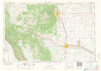
1966 Map of Pueblo
USGS Topo · Published 1966About this map
Pueblo and Colorado Springs anchor this mid-century survey of the Front Range, where the high plains meet the eastern slopes of the Sangre de Cristo Range and Wet Mountains. The landscape is defined by the industrial and military activity of the era, from the sprawling Fort Carson Military Reservation to the extensive Pueblo Ordnance Depot east of the city. Along the Arkansas River, a corridor of mining and manufacturing settlements like Florence, Portland, and Coal Creek highlights the region's reliance on mineral extraction, further evidenced by the Empire Zinc Mine and Canon Imperial Mine near Canon City.
Find a feature on this map
281 named features on this map. Tap any name to fly to it.
Don’t see what you’re looking for? This feature index may not catch every label — zoom into the map to look around manually.
Map Details
Editions of this 1966 Pueblo Map
This is the sole edition of this map. No revisions or reprints were ever made.
Other maps of this area
1889 · Canon City
USGS Topo · 1:125,000
1889 · Leadville
USGS Topo · 1:125,000
1889 · Huerfano Park
USGS Topo · 1:125,000
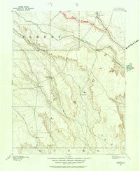
1889 · Sanborn
USGS Topo · 1:125,000
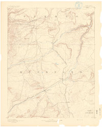
1891 · Walsenburg
USGS Topo · 1:125,000
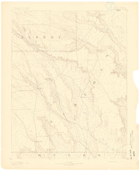
1891 · Sanborn
USGS Topo · 1:125,000
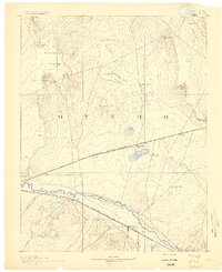
1891 · Catlin
USGS Topo · 1:125,000
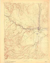
1891 · Pueblo
USGS Topo · 1:125,000
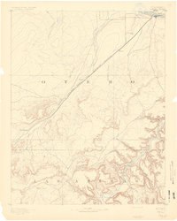
1891 · Timpas
USGS Topo · 1:125,000
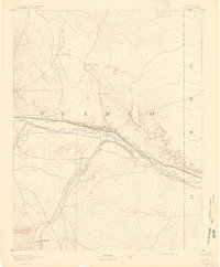
1891 · Nepesta
USGS Topo · 1:125,000