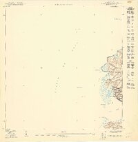
1949 Map of Puerto Real NO
USGS Topo · Published 1949About this map
The coastal settlement of Puerto Real occupies a sheltered cove along the western shore of Cabo Rojo in this mid-century survey. The map details the transition from the marine environment of the Pasaje de Mona to the agricultural and residential barrios of Miradero and Pedernales. The intricate shoreline is punctuated by prominent points including Pta Ostiones, Pta Carenero, and Pta La Mela, defining the shape of the harbor. Inland, the hydrology is marked by the Quebrada Las Piñas, which drains toward the developed waterfront. Small offshore features like Cayo Ratones and Cayo Fanduca provide critical landmarks for the maritime activity that has long centered on this traditional fishing village. This survey, prepared by the United States Department of the Interior, reflects the area's landscape just as modern planning and zoning began to take shape under the local Department of the Interior and Jorge J. Jiménez.
Find a feature on this map
13 named features on this map. Tap any name to fly to it.
Don’t see what you’re looking for? This feature index may not catch every label — zoom into the map to look around manually.
Map Details
Editions of this 1949 Puerto Real NO Map
This is the sole edition of this map. No revisions or reprints were ever made.
Other maps of this area

1935 · Puerto Real
USGS Topo · 1:25,000

1937 · Puerto Real
USGS Topo · 1:25,000

1939 · Mayaguez
USGS Topo · 1:30,000

1941 · Puerto Real
USGS Topo · 1:30,000
1947 · Mayaguez
USGS Topo · 1:30,000
1949 · Puerto Real SE
USGS Topo · 1:10,000
1949 · Puerto Real NE
USGS Topo · 1:10,000
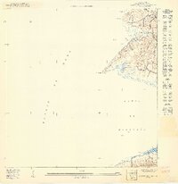
1949 · Puerto Real SO
USGS Topo · 1:10,000
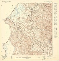
1950 · Mayaguez SE
USGS Topo · 1:10,000
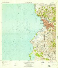
1955 · Mayaguez
USGS Topo · 1:20,000