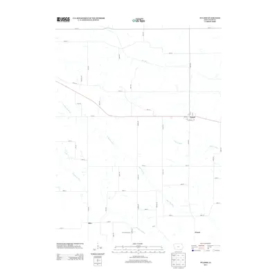
2013 Map of Pulaski
USGS Topo · Published 2013About this map
Pulaski serves as the primary population center in this corner of Davis County, situated along a series of local streets including N 1st St and Angular St. The surrounding landscape is defined by the winding paths of the Fox River in the north and the N Wyaconda River which meanders through the central and southern sections. Small settlements like Stiles and Waneta anchor the rural crossroads, connected by a rigid grid of numbered streets and named avenues such as Rainbow Ave and Quake Ave. The presence of the Iowa-Missoura Camp near the southern boundary suggests a site of community gathering or recreation. This drainage network, including the Little Fox River and S Wyaconda River, illustrates the importance of these waterways in shaping the agricultural layout and road placement throughout the township.
Find a feature on this map
49 named features on this map. Tap any name to fly to it.
Don’t see what you’re looking for? This feature index may not catch every label — zoom into the map to look around manually.
Map Details
Editions of this 2013 Pulaski Map
This is the sole edition of this map. No revisions or reprints were ever made.
Other maps of this area

1954 · Centerville
USGS Topo · 1:250,000

1956 · Ottumwa South
USGS Topo · 1:62,500

1957 · Centerville
USGS Topo · 1:250,000

1958 · Centerville
USGS Topo · 1:250,000

1965 · Selma
USGS Topo · 1:24,000
1970 · Brock
USGS Topo · 1:24,000
1970 · Milton
USGS Topo · 1:24,000
1979 · Floris
USGS Topo · 1:24,000
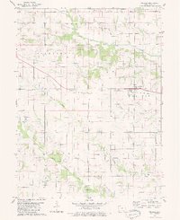
1979 · Pulaski
USGS Topo · 1:24,000
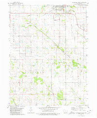
1979 · Bloomfield South
USGS Topo · 1:24,000