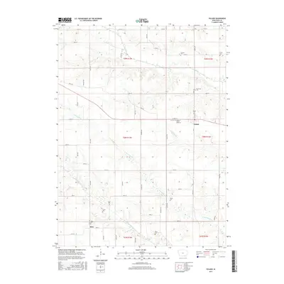
2015 Map of Pulaski
USGS Topo · Published 2015About this map
Pulaski serves as the primary hub of this Davis County landscape, centered at the intersection of W Main St and Co Hwy V42. The area is defined by a dense network of country roads and the meandering paths of the Fox River to the north and branches of the Wyaconda River to the south. Numerous small cemeteries are scattered across the township lines of T68N and T67N, providing a detailed record of early settlement patterns and family heritage. Notable sites include the KP Cem Knights of Pythias Lodge Cem just west of Pulaski and the Stiles Cem near the southern settlement of Stiles. The map illustrates the persistent agricultural grid of southeastern Iowa, where the terrain is gently broken by the valleys of the N Wyaconda River and S Wyaconda River.
Find a feature on this map
56 named features on this map. Tap any name to fly to it.
Don’t see what you’re looking for? This feature index may not catch every label — zoom into the map to look around manually.
Map Details
Editions of this 2015 Pulaski Map
This is the sole edition of this map. No revisions or reprints were ever made.
Other maps of this area

1954 · Centerville
USGS Topo · 1:250,000

1956 · Ottumwa South
USGS Topo · 1:62,500

1957 · Centerville
USGS Topo · 1:250,000

1958 · Centerville
USGS Topo · 1:250,000

1965 · Selma
USGS Topo · 1:24,000
1970 · Brock
USGS Topo · 1:24,000
1970 · Milton
USGS Topo · 1:24,000
1979 · Floris
USGS Topo · 1:24,000
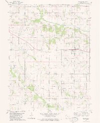
1979 · Pulaski
USGS Topo · 1:24,000
1979 · Bloomfield South
USGS Topo · 1:24,000