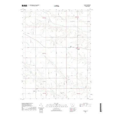
2018 Map of Pulaski
USGS Topo · Published 2018About this map
Pulaski and Stiles anchor this corner of southeast Iowa, where a network of gravel roads and section lines defines the agricultural landscape. The area is marked by a high density of small family and community burial grounds, such as Armstrong Cem, Collins Cem, and the uniquely named Knights of Pythias Lodge Cem, providing significant points of interest for genealogical research in Davis County.
Find a feature on this map
58 named features on this map. Tap any name to fly to it.
Don’t see what you’re looking for? This feature index may not catch every label — zoom into the map to look around manually.
Map Details
Editions of this 2018 Pulaski Map
This is the sole edition of this map. No revisions or reprints were ever made.
Other maps of this area

1954 · Centerville
USGS Topo · 1:250,000

1956 · Ottumwa South
USGS Topo · 1:62,500

1957 · Centerville
USGS Topo · 1:250,000

1958 · Centerville
USGS Topo · 1:250,000

1965 · Selma
USGS Topo · 1:24,000
1970 · Brock
USGS Topo · 1:24,000
1970 · Milton
USGS Topo · 1:24,000
1979 · Floris
USGS Topo · 1:24,000
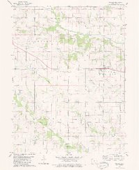
1979 · Pulaski
USGS Topo · 1:24,000
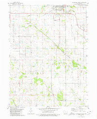
1979 · Bloomfield South
USGS Topo · 1:24,000