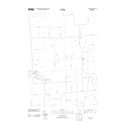
2013 Map of Pulaski
USGS Topo · Published 2013About this map
The village of Pulaski serves as a focal point in this 2013 survey of the Wisconsin landscape, where several branches of the Suamico River system converge. The topography is defined by the winding paths of the Suamico River, the N Br Suamico River, and the W Br Suamico River, which weave through a network of rural roads such as Van Dornick Rd and S Chase Rd. Small residential clusters and agricultural properties are scattered throughout the region, with Chase and South Chase anchoring the eastern portion of the sheet. Modern infrastructure is evident in the inclusion of Camelot Terrace and the Carter Airport, indicating the area's continued development as a semi-rural residential and aviation hub. The map provides a detailed view of property access and drainage patterns, specifically along Potter Cr and the northern reaches of the Pensaukee River.
Find a feature on this map
78 named features on this map. Tap any name to fly to it.
Don’t see what you’re looking for? This feature index may not catch every label — zoom into the map to look around manually.
Map Details
Editions of this 2013 Pulaski Map
This is the sole edition of this map. No revisions or reprints were ever made.
Other maps of this area

1954 · Green Bay West
USGS Topo · 1:24,000

1954 · Green Bay
USGS Topo · 1:62,500

1955 · Seymour
USGS Topo · 1:62,500

1955 · Green Bay
USGS Topo · 1:250,000

1956 · Gillett
USGS Topo · 1:62,500

1956 · Oconto Falls
USGS Topo · 1:62,500

1974 · Seymour
USGS Topo · 1:24,000

1974 · Abrams
USGS Topo · 1:24,000

1974 · Zachow
USGS Topo · 1:24,000
1974 · Oconto Falls South
USGS Topo · 1:24,000