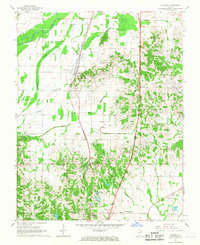
1967 Map of Pulaski
USGS Topo · Published 1968About this map
The Illinois Central railroad corridor anchors this late 1960s study of Pulaski County, Illinois, slicing through a landscape defined by complex drainage networks and scattered agricultural settlements. The lowlands are marked by the winding course of the Cache River and its associated backwaters, including Cypress Slough and Pulaski Slough. This environment necessitated the concentration of development on higher ground, as seen in the linear arrangement of Pulaski and Villa Ridge along the rail line.
Find a feature on this map
36 named features on this map. Tap any name to fly to it.
Don’t see what you’re looking for? This feature index may not catch every label — zoom into the map to look around manually.
Map Details
Editions of this 1967 Pulaski Map
2 editions found
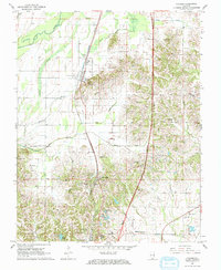
Other maps of this area

1920 · Jonesboro
USGS Topo · 1:62,500

1920 · Dongola
USGS Topo · 1:62,500

1923 · Dongola
USGS Topo · 1:62,500

1923 · Jonesboro
USGS Topo · 1:62,500

1931 · Cairo
USGS Topo · 1:62,500

1933 · Cairo
USGS Topo · 1:62,500

1934 · Thebes
USGS Topo · 1:62,500

1939 · Cairo
USGS Topo · 1:62,500

1939 · Thebes
USGS Topo · 1:62,500

1947 · Jonesboro
USGS Topo · 1:62,500