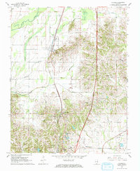
1967 Map of Pulaski
USGS Topo · Published 1968About this map
The Illinois Central railroad corridor serves as the primary spine for settlement in this portion of Pulaski Co, anchoring the communities of Pulaski and Villa Ridge. This 1967 survey reveals a landscape where family and community legacy is deeply rooted in its numerous cemeteries and rural churches. Genealogists can find important sites such as the Old Shiloh Cem and King-McNeil Cem, alongside congregational centers like Rose Hill Ch and Edith Chapel.
Find a feature on this map
43 named features on this map. Tap any name to fly to it.
Don’t see what you’re looking for? This feature index may not catch every label — zoom into the map to look around manually.
Map Details
Editions of this 1967 Pulaski Map
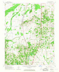
2 editions found
Other maps of this area

1920 · Jonesboro
USGS Topo · 1:62,500

1920 · Dongola
USGS Topo · 1:62,500

1923 · Dongola
USGS Topo · 1:62,500

1923 · Jonesboro
USGS Topo · 1:62,500

1931 · Cairo
USGS Topo · 1:62,500

1933 · Cairo
USGS Topo · 1:62,500

1934 · Thebes
USGS Topo · 1:62,500

1939 · Cairo
USGS Topo · 1:62,500

1939 · Thebes
USGS Topo · 1:62,500

1947 · Jonesboro
USGS Topo · 1:62,500