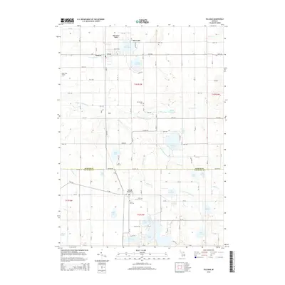
2014 Map of Pullman
USGS Topo · Published 2014About this map
Grand Junction and Pullman anchor this survey of the Michigan lake country along the border of Allegan Co and Van Buren Co. The landscape is defined by an intricate network of water bodies, including the expansive Saddle Lake, Osterhout Lake, and Lower Scott Lake. These glacial remnants are connected by smaller waterways like the Middle Br Black River and Barber Cr.
Find a feature on this map
65 named features on this map. Tap any name to fly to it.
Don’t see what you’re looking for? This feature index may not catch every label — zoom into the map to look around manually.
Map Details
Editions of this 2014 Pullman Map
This is the sole edition of this map. No revisions or reprints were ever made.
Other maps of this area
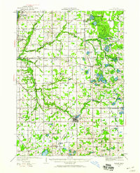
1927 · Bangor
USGS Topo · 1:62,500
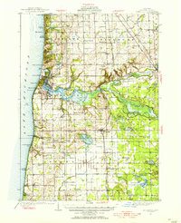
1928 · Fennville
USGS Topo · 1:62,500
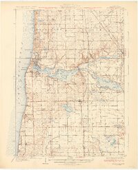
1931 · Fennville
USGS Topo · 1:62,500
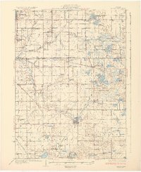
1931 · Bangor
USGS Topo · 1:62,500
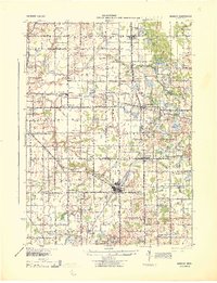
1943 · Bangor
USGS Topo · 1:62,500
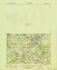
1946 · Gobles
USGS Topo · 1:62,500
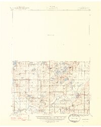
1948 · Gobles
USGS Topo · 1:62,500
1949 · Gobles
USGS Topo · 1:62,500
1958 · Allegan
USGS Topo · 1:62,500
1958 · Racine
USGS Topo · 1:250,000