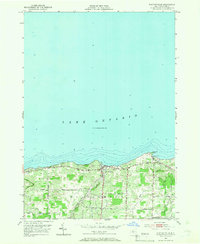
1952 Map of Pultneyville
USGS Topo · Published 1966About this map
Pultneyville sits prominently on the southern shore of Lake Ontario, serving as the primary coastal settlement within the town of Williamson. Surveyed in the early 1950s, the map reveals an agricultural landscape heavily defined by its proximity to the water, where drainage features like Mink Creek and Salmon Creek cut through the terrain toward the lake. The rural interior is networked by roads named for local families and landmarks, such as Bear Swamp Road, Brasser Road, and Lonesome Road, reflecting a mid-century pattern of spread-out farmsteads and orchards. Along the immediate coastline, the Lake Road provides access to local geographic points like Fairbanks Point and the sheltered Holland Cove. For genealogists and local historians, the inclusion of Lakeview Cem near the lakefront provides a specific point for tracing early residents of this Wayne County community.
Find a feature on this map
21 named features on this map. Tap any name to fly to it.
Don’t see what you’re looking for? This feature index may not catch every label — zoom into the map to look around manually.
Map Details
Editions of this 1952 Pultneyville Map
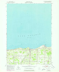
Other maps of this area

1899 · Palmyra
USGS Topo · 1:62,500

1900 · Macedon
USGS Topo · 1:62,500

1902 · Pultneyville
USGS Topo · 1:62,500

1902 · Palmyra
USGS Topo · 1:62,500

1942 · Ontario
USGS Topo · 1:31,680

1942 · Pultneyville
USGS Topo · 1:31,680

1943 · Williamson
USGS Topo · 1:31,680

1943 · Sodus
USGS Topo · 1:31,680
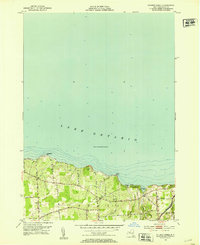
1952 · Salmon Creek
USGS Topo · 1:24,000
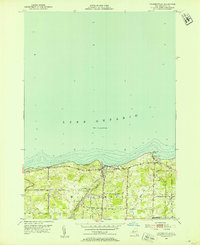
1952 · Pultneyville
USGS Topo · 1:24,000