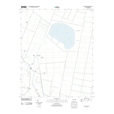
2010 Map of Pungo Lake
USGS Topo · Published 2010About this map
Pungo Lake dominates this coastal plain landscape in eastern North Carolina, surrounded by a precise grid of drainage canals and timbered ridges. The settlement of Pungo and the Pungo Post Office anchor the southern portion of the sheet near the headwaters of the Pungo River. This 2010 survey illustrates a highly engineered environment where water management is central to the land's utility, evident in the numerous landings such as Elbow Landing, Davis Landing, and Indian Landing that line the local waterways. Interspersed among the canal roads are slightly elevated features like Chinquapin Ridge, Beech Ridge, and Oak Ridge, which likely provided the only dry ground for early inhabitants. The transition from the open water of the lake to the structured drainage of the Great Branch and Dogwood Run reveals the complex hydrological history of the Tidewater region.
Find a feature on this map
40 named features on this map. Tap any name to fly to it.
Don’t see what you’re looking for? This feature index may not catch every label — zoom into the map to look around manually.
Map Details
Editions of this 2010 Pungo Lake Map
This is the sole edition of this map. No revisions or reprints were ever made.
Other maps of this area

1914 · Belhaven
USGS Topo · 1:48,000

1916 · Belhaven
USGS Topo · 1:62,500

1943 · Columbia
USGS Topo · 1:125,000

1943 · Plymouth
USGS Topo · 1:125,000

1951 · Belhaven
USGS Topo · 1:24,000

1951 · Pantego
USGS Topo · 1:24,000

1951 · Ponzer
USGS Topo · 1:24,000

1953 · Rocky Mount
USGS Topo · 1:250,000

1954 · Rocky Mount
USGS Topo · 1:250,000

1954 · Plymouth East
USGS Topo · 1:24,000