
1954 Map of Plymouth East
USGS Topo · Published 1957About this map
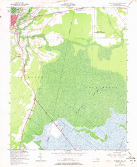
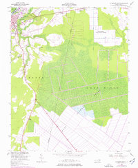
The Roanoke River and its expansive wetlands dominate this landscape in Washington County, where the town of Plymouth serves as a critical junction for the Norfolk Southern and Atlantic Coast Line railroads. The vast reach of the Lees Mills Swamp and Dismal Swamp dictates the settlement patterns, pushing development toward the higher ground near Pineridge and Macedonia. Local transit follows the historic route of the Old Turnpike, cutting through the lowlands toward the southern reaches of the quadrangle.
Find a feature on this map
20 named features on this map. Tap any name to fly to it.
Don’t see what you’re looking for? This feature index may not catch every label — zoom into the map to look around manually.
Map Details
Editions of this 1954 Plymouth East Map
3 editions found
Other maps of this area

1914 · Belhaven
USGS Topo · 1:48,000

1916 · Belhaven
USGS Topo · 1:62,500

1943 · Plymouth
USGS Topo · 1:125,000

1953 · Rocky Mount
USGS Topo · 1:250,000

1954 · Rocky Mount
USGS Topo · 1:250,000

1954 · Roper North
USGS Topo · 1:24,000

1954 · Roper South
USGS Topo · 1:24,000

1954 · Westover
USGS Topo · 1:24,000
1954 · Pungo Lake
USGS Topo · 1:24,000
1954 · Pike Road
USGS Topo · 1:24,000