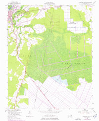
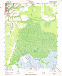
1954 Map of Plymouth East
USGS Topo · Published 1977About this map
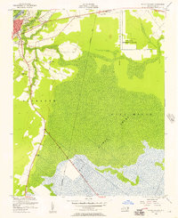
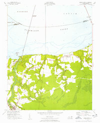
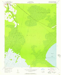
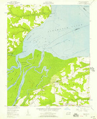
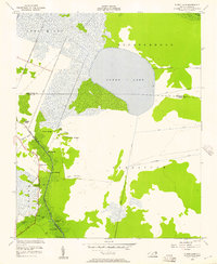
The Plymouth riverfront and the agricultural research landscape of Washington County define this mid-century survey. Along the Roanoke River, a dense convergence of rail lines—including the Atlantic Coast Line, Norfolk Southern, and Southern—illustrates the town's role as a vital transportation hub. Further south, the landscape shifts into the expansive Lees Mills Swamp and portions of the Dismal Swamp, where agricultural and scientific efforts are visible at the Tide Water Experimental Station. Small communities and religious centers like Lily Valley Ch and Union Chapel serve as anchor points for the surrounding rural population. The presence of Ruins and several lookout towers provides specific landmarks for local history researchers and genealogists tracing family footprints near Conaby Creek and the Skinners Canal.
Find a feature on this map
25 named features on this map. Tap any name to fly to it.
Don’t see what you’re looking for? This feature index may not catch every label — zoom into the map to look around manually.
Map Details
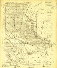
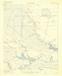
Editions of this 1954 Plymouth East Map
3 editions found
Other maps of this area
1914 · Belhaven
USGS Topo · 1:48,000
1916 · Belhaven
USGS Topo · 1:62,500

1943 · Plymouth
USGS Topo · 1:125,000

1953 · Rocky Mount
USGS Topo · 1:250,000

1954 · Rocky Mount
USGS Topo · 1:250,000
1954 · Plymouth East
USGS Topo · 1:24,000
1954 · Roper North
USGS Topo · 1:24,000
1954 · Roper South
USGS Topo · 1:24,000
1954 · Westover
USGS Topo · 1:24,000
1954 · Pungo Lake
USGS Topo · 1:24,000