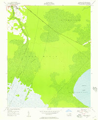
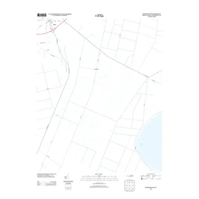
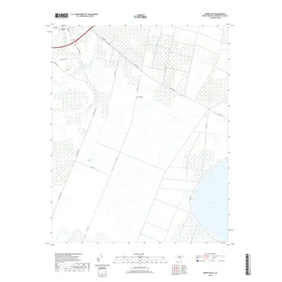
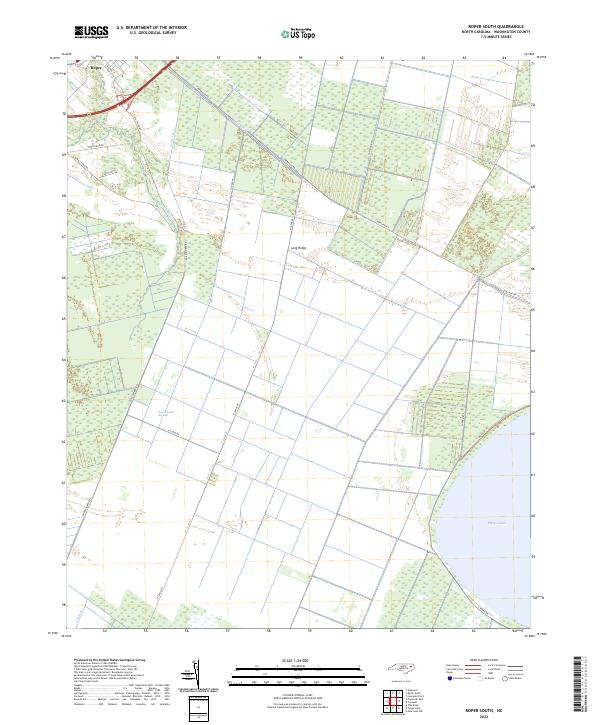
1954 Map of Roper South
USGS Topo · Published 1957About this map
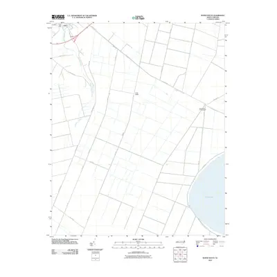
Roper serves as the primary settlement on this mid-century coastal plain landscape, where the cleared land around Clemons High Sch quickly gives way to an extensive network of drainage projects. The geography is defined by the massive Phelps Lake at the southern edge and the dense wetlands of Lee S Mills Swamp and East Dismal. Human intervention in the terrain is evident through the long, straight stretches of the Newland Main Road and an organized system of waterways including Lewis Canal, Canal A, and Canal B. These features reflect the mid-century effort to manage the water levels of the Albemarle-Pamlico peninsula for agriculture and timber, contrasting the wilder sections of Skinnersville with the emerging infrastructure of the 1950s.
Find a feature on this map
17 named features on this map. Tap any name to fly to it.
Don’t see what you’re looking for? This feature index may not catch every label — zoom into the map to look around manually.
Map Details
Editions of this 1954 Roper South Map
3 editions found
Historical Maps of Roper Through Time
31 maps found
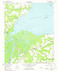
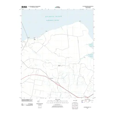
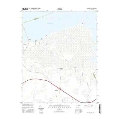
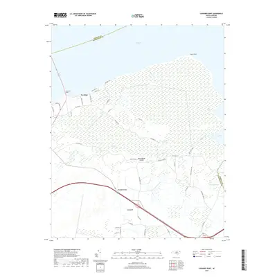
1954 Leonards Point
Washington County, NC
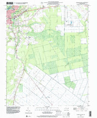
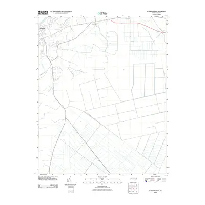
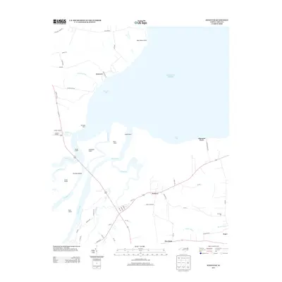
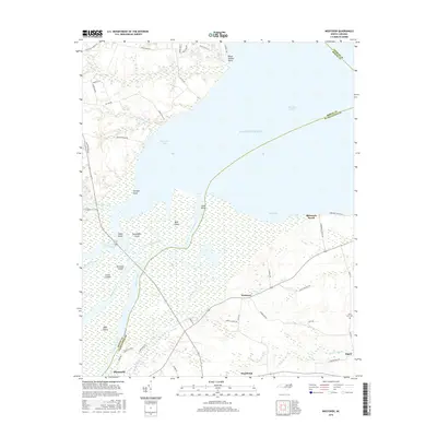
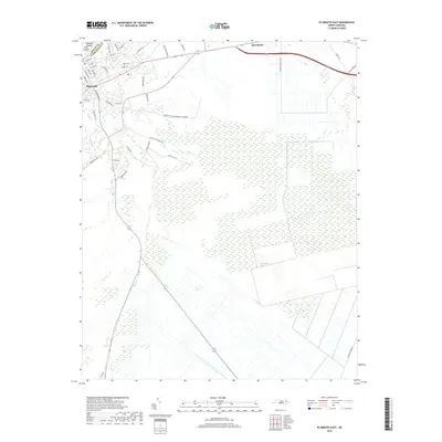
1954 Plymouth East
Washington County, NC
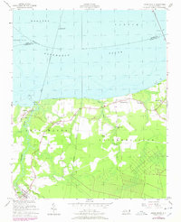
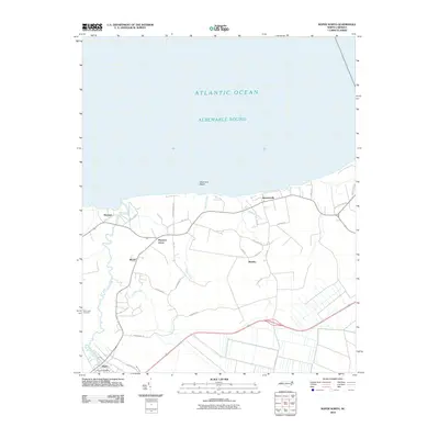
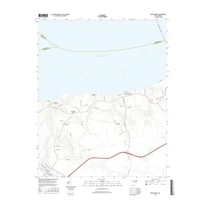
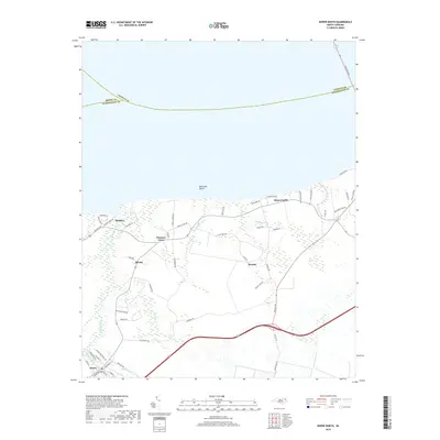
1954 Roper North
Washington County, NC
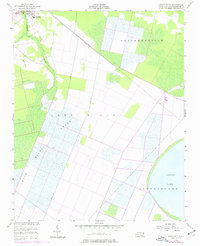
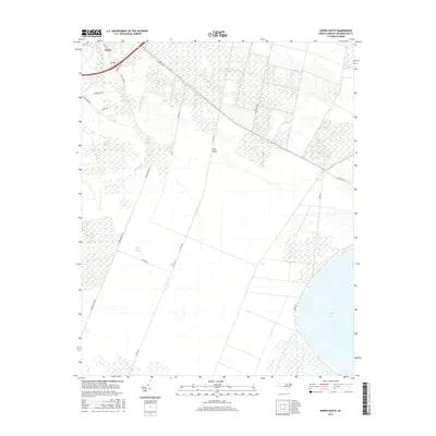
1954 Roper South
Washington County, NC
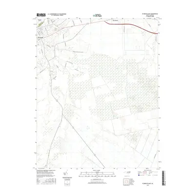
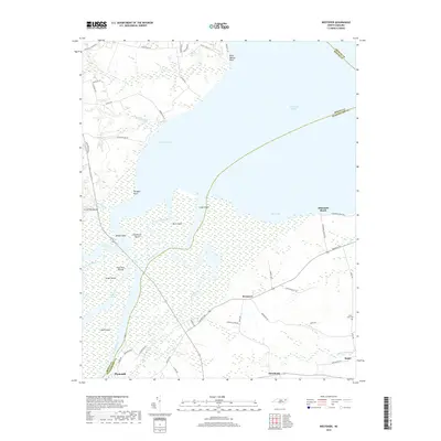
1954 Westover
Washington County, NC
1998 Plymouth East
Washington County, NC
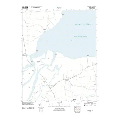
2010 Leonards Point
Washington County, NC
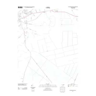
2010 Plymouth East
Washington County, NC
2010 Roper North
Washington County, NC
2010 Roper South
Washington County, NC
2010 Westover
Washington County, NC
2013 Leonards Point
Washington County, NC
2013 Plymouth East
Washington County, NC
2013 Roper North
Washington County, NC
2013 Roper South
Washington County, NC
2013 Westover
Washington County, NC
2016 Leonards Point
Washington County, NC
2016 Plymouth East
Washington County, NC
2016 Roper North
Washington County, NC
2016 Roper South
Washington County, NC
2016 Westover
Washington County, NC
2019 Leonards Point
Washington County, NC
2019 Plymouth East
Washington County, NC
2019 Roper North
Washington County, NC
2019 Roper South
Washington County, NC
2019 Westover
Washington County, NC
2022 Leonards Point
Washington County, NC
2022 Plymouth East
Washington County, NC
2022 Roper North
Washington County, NC
2022 Roper South
Washington County, NC
2022 Westover
Washington County, NC