
1954 Map of Roper North
USGS Topo · Published 1957About this map
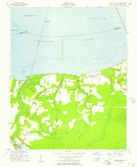
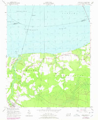
Albemarle Sound dominates the northern half of this mid-century survey, where the Norfolk Southern railway crosses the wide water via a prominent drawbridge. Along the southern shore, the landscape transition is marked by a network of drainage and transport infrastructure, including the Newland Canal and its adjacent Newland Canal Road. The settlement pattern follows the higher ground between wetlands, with centers at Mackeys and Skinnersville serving as focal points for the surrounding rural communities. Local life is anchored by country churches like Holly Neck Ch, Oak Grove Ch, and Shiloh Wonder Ch, while the industrial presence of the era is evidenced by a Borrow Pit and the Pier Ruins found along the sound's edge. The map captures a moment before modern development significantly altered the shoreline, preserving the location of family-named settlements like Beasley and Blount.
Find a feature on this map
38 named features on this map. Tap any name to fly to it.
Don’t see what you’re looking for? This feature index may not catch every label — zoom into the map to look around manually.
Map Details
Editions of this 1954 Roper North Map
3 editions found
Other maps of this area

1904 · Edenton
USGS Topo · 1:62,500

1906 · Hertford
USGS Topo · 1:62,500

1940 · Hertford
USGS Topo · 1:62,500

1942 · Edenton
USGS Topo · 1:62,500

1943 · Columbia
USGS Topo · 1:125,000

1943 · Plymouth
USGS Topo · 1:125,000

1943 · Edenton
USGS Topo · 1:62,500

1953 · Norfolk
USGS Topo · 1:250,000

1953 · Rocky Mount
USGS Topo · 1:250,000

1954 · Rocky Mount
USGS Topo · 1:250,000