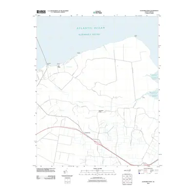
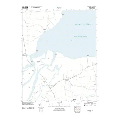
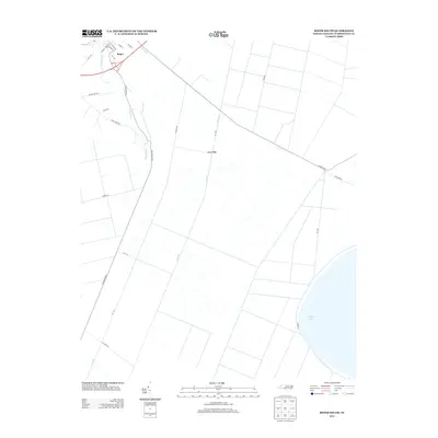
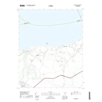
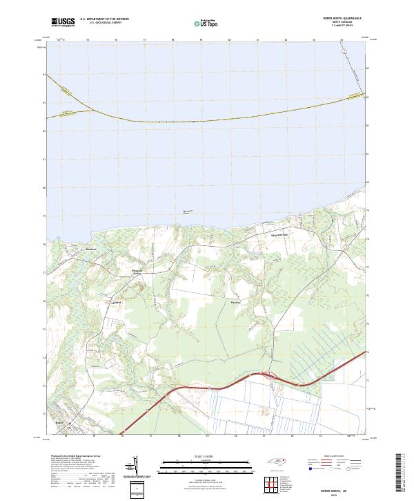
1954 Map of Roper North
USGS Topo · Published 1978About this map
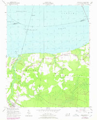
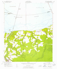
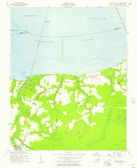
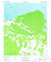
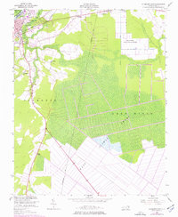
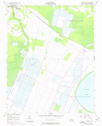
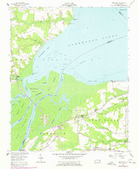
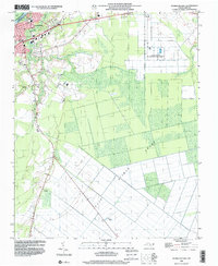
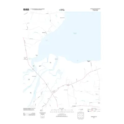
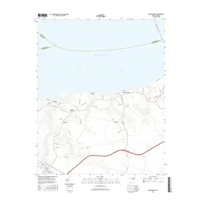
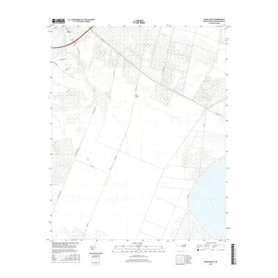
Albemarle Sound dominates the northern half of this coastal landscape, where the confluence of several waterways meets the shore of Washington County. The settlement of Mackeys sits at a critical junction of transport and terrain, situated where the Norfolk and Southern railroad lines intersect before crossing the sound. To the south, the community of Roper marks a hub of activity near the head of Kendrick Creek and the Main Canal, reflecting an era of intensive drainage and timber-related infrastructure.
Find a feature on this map
40 named features on this map. Tap any name to fly to it.
Don’t see what you’re looking for? This feature index may not catch every label — zoom into the map to look around manually.
Map Details
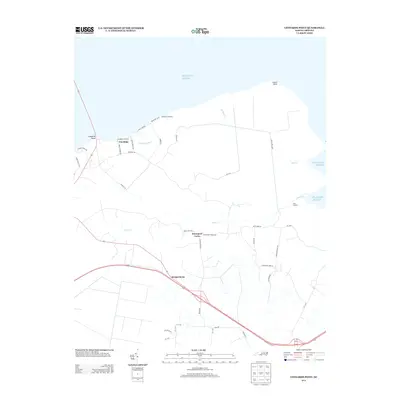
Editions of this 1954 Roper North Map
3 editions found
Historical Maps of Roper Through Time
31 maps found
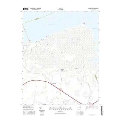
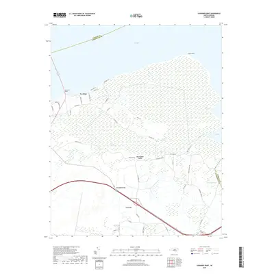
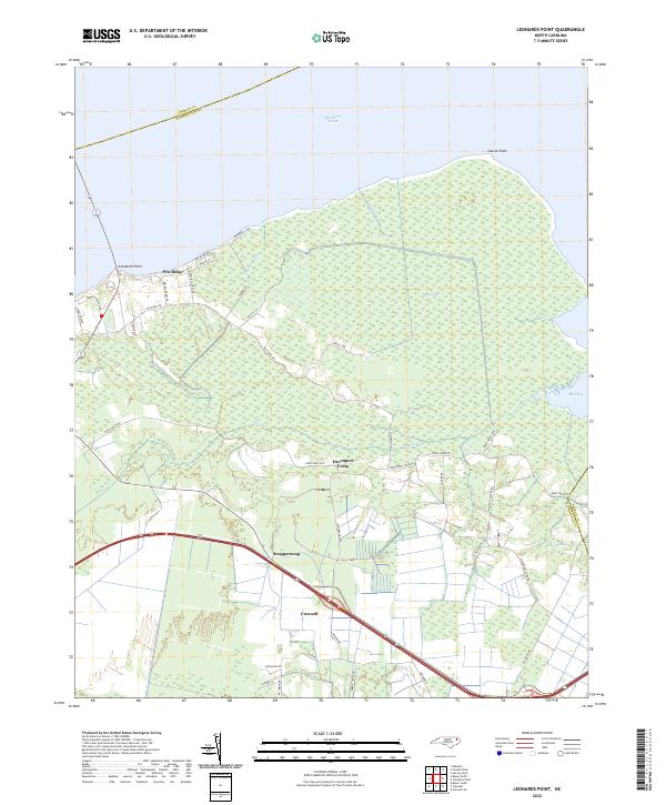
1954 Leonards Point
Washington County, NC
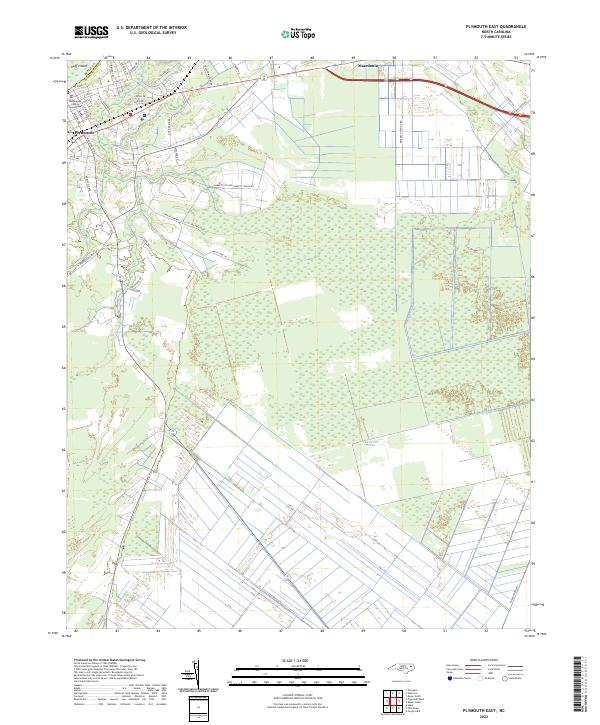
1954 Plymouth East
Washington County, NC
1954 Roper North
Washington County, NC
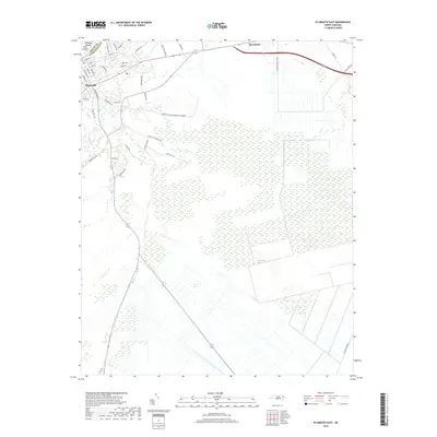
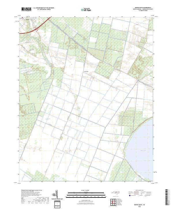
1954 Roper South
Washington County, NC
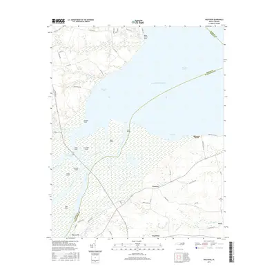
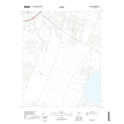
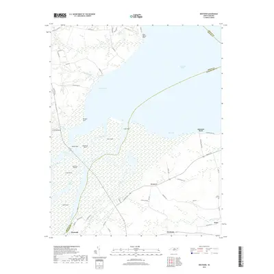
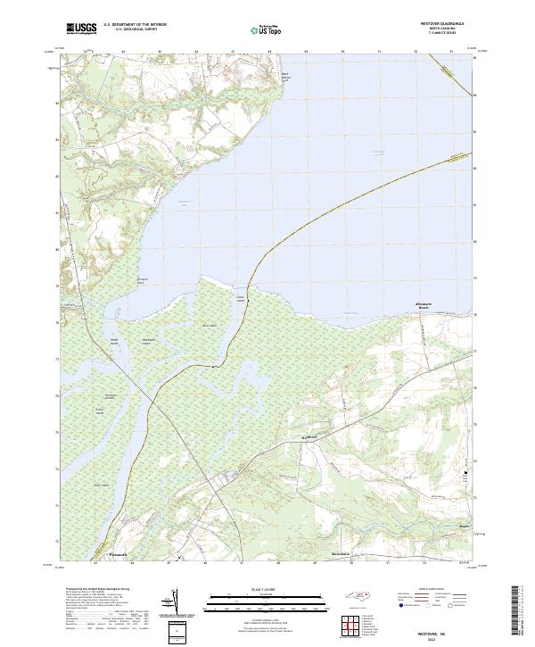
1954 Westover
Washington County, NC
1998 Plymouth East
Washington County, NC
2010 Leonards Point
Washington County, NC
2010 Plymouth East
Washington County, NC
2010 Roper North
Washington County, NC
2010 Roper South
Washington County, NC
2010 Westover
Washington County, NC
2013 Leonards Point
Washington County, NC
2013 Plymouth East
Washington County, NC
2013 Roper North
Washington County, NC
2013 Roper South
Washington County, NC
2013 Westover
Washington County, NC
2016 Leonards Point
Washington County, NC
2016 Plymouth East
Washington County, NC
2016 Roper North
Washington County, NC
2016 Roper South
Washington County, NC
2016 Westover
Washington County, NC
2019 Leonards Point
Washington County, NC
2019 Plymouth East
Washington County, NC
2019 Roper North
Washington County, NC
2019 Roper South
Washington County, NC
2019 Westover
Washington County, NC
2022 Leonards Point
Washington County, NC
2022 Plymouth East
Washington County, NC
2022 Roper North
Washington County, NC
2022 Roper South
Washington County, NC
2022 Westover
Washington County, NC