
1977 Map of Punkin Center
USGS Topo · Published 1978About this map
Punkin Center serves as the central point of reference in this mid-1970s landscape on the high plains of the Elbert and Lincoln County line. The terrain is defined by the ephemeral drainages of Mustang Creek, South Rush Creek, and Horse Creek, which carve subtle valleys across the ranching country. The presence of numerous Wells and several Springs highlights the critical importance of water access in this semi-arid region, where small-scale improvements dictate the patterns of human settlement and land use. Industrial activity is minimal, represented only by a solitary Gravel Pit along the highway. This survey captures a specific moment in the rural development of eastern Colorado, where the vastness of the prairie is segmented by ranching fences and the intersection of state routes at a single named settlement.
Find a feature on this map
10 named features on this map. Tap any name to fly to it.
Don’t see what you’re looking for? This feature index may not catch every label — zoom into the map to look around manually.
Map Details
Editions of this 1977 Punkin Center Map
This is the sole edition of this map. No revisions or reprints were ever made.
Other maps of this area

1889 · Sanborn
USGS Topo · 1:125,000

1891 · Sanborn
USGS Topo · 1:125,000

1893 · Sanborn
USGS Topo · 1:125,000

1954 · Lamar
USGS Topo · 1:250,000

1958 · Lamar
USGS Topo · 1:250,000

1975 · Stanley Gulch
USGS Topo · 1:24,000
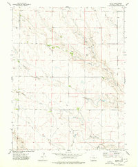
1975 · Kutch
USGS Topo · 1:24,000
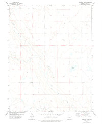
1978 · Beckman Lake
USGS Topo · 1:24,000
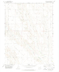
1978 · Peace Valley
USGS Topo · 1:24,000
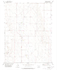
1978 · Forder
USGS Topo · 1:24,000