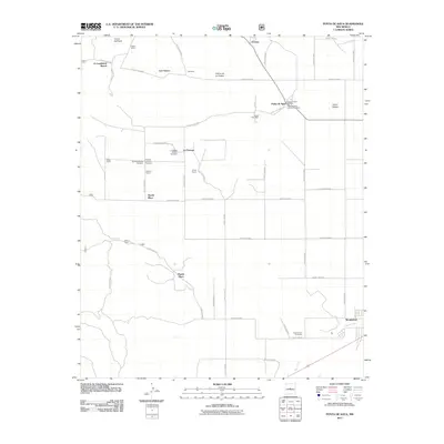
2011 Map of Punta de Agua
USGS Topo · Published 2011About this map
Punta de Agua serves as a focal point for this section of Torrance County, where the high plains transition toward the Manzano Mountains. The map reveals a deeply established network of family-named settlements and working lands, including Los Chavez, Montano, and the D Candelaria Ranch. For those researching local history or genealogy, the area is notable for its numerous burial grounds, such as the Punta de Agua Catholic Cemetery, Kayser-Eastview Cemetery, and the La Cienega Mission Cemetery.
Find a feature on this map
57 named features on this map. Tap any name to fly to it.
Don’t see what you’re looking for? This feature index may not catch every label — zoom into the map to look around manually.
Map Details
Editions of this 2011 Punta de Agua Map
This is the sole edition of this map. No revisions or reprints were ever made.
Other maps of this area
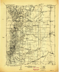
1917 · Estancia
USGS Topo · 1:125,000
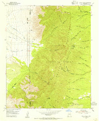
1954 · Capilla Peak
USGS Topo · 1:24,000
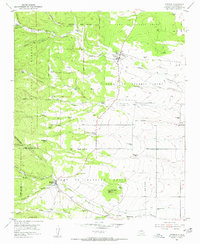
1954 · Torreon
USGS Topo · 1:24,000
1954 · Torreon
USGS Topo · 1:62,500
1954 · Socorro
USGS Topo · 1:250,000
1956 · Mountainair
USGS Topo · 1:62,500
1958 · Socorro
USGS Topo · 1:250,000
1962 · Socorro
USGS Topo · 1:250,000
1972 · Abo
USGS Topo · 1:24,000
1972 · Scholle
USGS Topo · 1:24,000