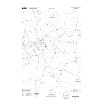
2013 Map of Punxsutawney
USGS Topo · Published 2013About this map
Gobblers Knob and the surrounding borough of Punxsutawney serve as the geographic heart of this survey, which illustrates the complex transportation and industrial legacy of Jefferson County. The town is situated at the confluence of several waterways, including Mahoning Cr and Elk Run, while the rail infrastructure is marked by the Elk Run Junction and the B and O Terminal. These elements point to the region's historic reliance on the transport of natural resources.
Find a feature on this map
235 named features on this map. Tap any name to fly to it.
Don’t see what you’re looking for? This feature index may not catch every label — zoom into the map to look around manually.
Map Details
Editions of this 2013 Punxsutawney Map
This is the sole edition of this map. No revisions or reprints were ever made.
Other maps of this area

1906 · Punxsutawney
USGS Topo · 1:62,500

1909 · Smicksburg
USGS Topo · 1:62,500

1922 · Du Bois
USGS Topo · 1:62,500

1924 · Du Bois
USGS Topo · 1:62,500

1924 · Brookville
USGS Topo · 1:62,500

1926 · Brookville
USGS Topo · 1:62,500

1938 · Smicksburg
USGS Topo · 1:62,500

1939 · Smicksburg
USGS Topo · 1:62,500

1939 · Punxsutawney
USGS Topo · 1:62,500

1942 · Punxsutawney
USGS Topo · 1:62,500