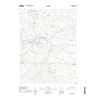
2019 Map of Punxsutawney
USGS Topo · Published 2019About this map
Punxsutawney serves as the central hub of this landscape, where the B & O RR tracks and the waters of Mahoning Creek intersect. The surrounding terrain is densely packed with cultural and religious landmarks, including the Saints Peter and Paul Byzantine Cem and the Cherva Agudath Achuin Hebrew Cem, reflecting a diverse community heritage within Jefferson and Indiana counties. To the south and east, the map reveals the industrial and residential patterns of settlements like Rossiter, Juneau, and Cloe.
Find a feature on this map
216 named features on this map. Tap any name to fly to it.
Don’t see what you’re looking for? This feature index may not catch every label — zoom into the map to look around manually.
Map Details
Editions of this 2019 Punxsutawney Map
This is the sole edition of this map. No revisions or reprints were ever made.
Other maps of this area

1906 · Punxsutawney
USGS Topo · 1:62,500

1909 · Smicksburg
USGS Topo · 1:62,500

1922 · Du Bois
USGS Topo · 1:62,500

1924 · Du Bois
USGS Topo · 1:62,500

1924 · Brookville
USGS Topo · 1:62,500

1926 · Brookville
USGS Topo · 1:62,500

1938 · Smicksburg
USGS Topo · 1:62,500

1939 · Smicksburg
USGS Topo · 1:62,500

1939 · Punxsutawney
USGS Topo · 1:62,500

1942 · Punxsutawney
USGS Topo · 1:62,500