Loading...
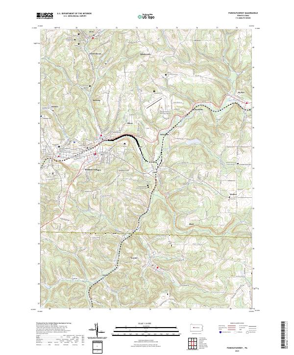
Loading map...2023 Map of Punxsutawney
USGS Topo · Published 2023About this map
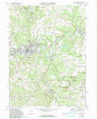
Punxsutawney serves as the focal point of this region, situated where Mahoning Creek meets several mountain runs. The landscape is dotted with several small mining and residential hamlets including Walston, Anita, and Rossiter, reflecting the area's legacy of coal and community development. Notable cultural landmarks include Gobblers Knob, located southeast of the main town center, and the Indiana University of Pennsylvania Punxsutawney Campus.
Find a feature on this map
51 named features on this map. Tap any name to fly to it.
Don’t see what you’re looking for? This feature index may not catch every label — zoom into the map to look around manually.
Map Details
Date Portrayed2023
Date Published2023
PublisherU.S. Geological Survey
Map TypeTopographic
Scale1:24000
Physical Dimensions24 x 29 inches
Editions of this 2023 Punxsutawney Map
This is the sole edition of this map. No revisions or reprints were ever made.
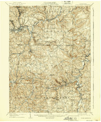
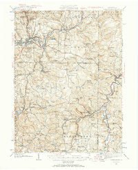
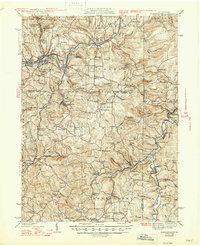
Historical Maps of Albion Through Time
6 maps found

Featured Locations
Source Details
SourceU.S. Geological Survey
CopyrightPublic Domain