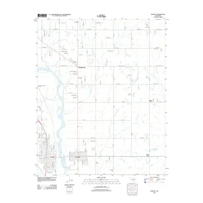
2012 Map of Purcell
USGS Topo · Published 2012About this map
Purcell and Lexington sit on opposing banks of the Canadian River, connected by a corridor that has long defined the local economy and geography of Cleveland County. In this 2012 landscape, the braided channels of the river dominate the western edge, while the interior is dotted with rural settlements like Slaughterville and industrial markers including the Alamo Oil Field and the Northeast Gibbon Spur Oil Field. Genealogists will find a high concentration of burial grounds throughout the area, from the Lexington Cem in the south to the Dripping Springs Cem and Shiloh Cem further north. The infrastructure of the early 21st century is well-represented, featuring Mc Caslin Airport and a dense network of country roads such as Slaughterville Rd and Cemetery Rd that link these small communities and family farms.
Find a feature on this map
53 named features on this map. Tap any name to fly to it.
Don’t see what you’re looking for? This feature index may not catch every label — zoom into the map to look around manually.
Map Details
Editions of this 2012 Purcell Map
This is the sole edition of this map. No revisions or reprints were ever made.
Other maps of this area

1893 · Norman
USGS Topo · 1:62,500

1898 · Purcell
USGS Topo · 1:125,000

1898 · Pauls Valley
USGS Topo · 1:125,000

1902 · Pauls Valley
USGS Topo · 1:125,000

1910 · McComb
USGS Topo · 1:62,500

1925 · Norman NO 2
USGS Topo · 1:24,000

1936 · Norman
USGS Topo · 1:62,500

1954 · Oklahoma City
USGS Topo · 1:250,000

1957 · Ardmore
USGS Topo · 1:250,000

1957 · Oklahoma City
USGS Topo · 1:250,000