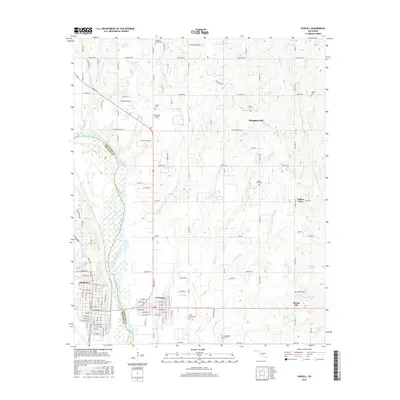
2016 Map of Purcell
USGS Topo · Published 2016About this map
The Canadian River serves as the primary geographical divider in this 2016 survey, marking the boundary between Cleveland County and McClain County. The city of Purcell sits on the western bank, its grid of streets such as W Washington St and W Main St leading toward the river’s edge. Directly across the water lies Lexington, while to the north, the sprawling residential and rural community of Slaughterville occupies the higher ground.
Find a feature on this map
71 named features on this map. Tap any name to fly to it.
Don’t see what you’re looking for? This feature index may not catch every label — zoom into the map to look around manually.
Map Details
Editions of this 2016 Purcell Map
This is the sole edition of this map. No revisions or reprints were ever made.
Other maps of this area

1893 · Norman
USGS Topo · 1:62,500

1898 · Purcell
USGS Topo · 1:125,000

1898 · Pauls Valley
USGS Topo · 1:125,000

1902 · Pauls Valley
USGS Topo · 1:125,000

1910 · McComb
USGS Topo · 1:62,500

1925 · Norman NO 2
USGS Topo · 1:24,000

1936 · Norman
USGS Topo · 1:62,500

1954 · Oklahoma City
USGS Topo · 1:250,000

1957 · Ardmore
USGS Topo · 1:250,000

1957 · Oklahoma City
USGS Topo · 1:250,000