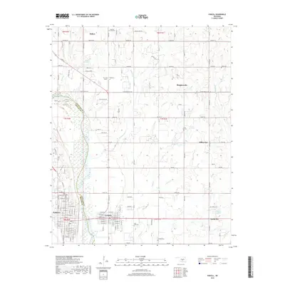
2018 Map of Purcell
USGS Topo · Published 2018About this map
The Canadian River serves as the prominent natural boundary between Cleveland Co and McClain Co, shaping the development of the twin riverside communities of Purcell and Lexington. This landscape reflects a transition from the urban street grids of the riverside towns to the dispersed agricultural and residential settlements of Slaughterville and Willow View to the east. The map provides a detailed view of the regional cemetery network, including Lexington Cem, Saint Johns Cem, and Shiloh Cem, which offer significant value for genealogical research in this part of Oklahoma. In the north, the town of Noble sits near the headwaters of Boone Cr, while the local topography is punctuated by Hartzog Hill and a series of small water bodies like Belle Mere Lake and 02704 Reservoir.
Find a feature on this map
83 named features on this map. Tap any name to fly to it.
Don’t see what you’re looking for? This feature index may not catch every label — zoom into the map to look around manually.
Map Details
Editions of this 2018 Purcell Map
This is the sole edition of this map. No revisions or reprints were ever made.
Other maps of this area

1893 · Norman
USGS Topo · 1:62,500

1898 · Purcell
USGS Topo · 1:125,000

1898 · Pauls Valley
USGS Topo · 1:125,000

1902 · Pauls Valley
USGS Topo · 1:125,000

1910 · McComb
USGS Topo · 1:62,500

1925 · Norman NO 2
USGS Topo · 1:24,000

1936 · Norman
USGS Topo · 1:62,500

1954 · Oklahoma City
USGS Topo · 1:250,000

1957 · Ardmore
USGS Topo · 1:250,000

1957 · Oklahoma City
USGS Topo · 1:250,000