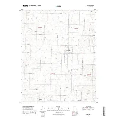
2017 Map of Purdy
USGS Topo · Published 2017About this map
The town of Purdy serves as the central hub of this Barry County landscape, characterized by a dense network of county roads and family cemeteries that speak to generations of rural settlement. Small communities and named locales such as Corsicana, Burtonville, and East Purdy are scattered across the township lines, while the southern edge reaches the village of Butterfield. The topography is defined by the drainage of Hudson Cr and the S Fork Capps Cr, which carve through the terrain to create distinctive hollows like Todd Hollow and Calls Hollow. Genealogists will find significant value in the numerous burial grounds documented here, including the Henderson Cem, Goodnight Cem, and Clark Cem. The presence of the Ingram Private Airport and the grid of thoroughfares like State Hwy B illustrate the modern transportation infrastructure overlaying this traditional Ozark agricultural region.
Find a feature on this map
80 named features on this map. Tap any name to fly to it.
Don’t see what you’re looking for? This feature index may not catch every label — zoom into the map to look around manually.
Map Details
Editions of this 2017 Purdy Map
This is the sole edition of this map. No revisions or reprints were ever made.
Other maps of this area

1937 · Cassville
USGS Topo · 1:48,000

1941 · Rocky Comfort
USGS Topo · 1:62,500

1943 · Ritchey
USGS Topo · 1:62,500

1943 · Monett
USGS Topo · 1:62,500

1943 · Rocky Comfort
USGS Topo · 1:62,500

1944 · Cassville
USGS Topo · 1:62,500

1945 · Harrison
USGS Topo · 1:250,000

1949 · Harrison
USGS Topo · 1:250,000

1954 · Harrison
USGS Topo · 1:250,000

1954 · Tulsa
USGS Topo · 1:250,000