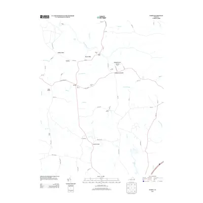
2013 Map of Purdy
USGS Topo · Published 2013About this map
The Nottoway River winds through this rural landscape of Greensville County, defining the drainage patterns and historical settlement clusters of the early 21st century. The map highlights several notable residential and agricultural centers, including the Jackson-Field Episcopal Home and a series of family-named farms like Wes-Vue Farm and Millview Farm. Small communities and intersections such as Fields Crossroads, Purdy, and Cowie Corner anchor the road network, while named points like Lazottes Ford suggest long-standing river crossings.
Find a feature on this map
65 named features on this map. Tap any name to fly to it.
Don’t see what you’re looking for? This feature index may not catch every label — zoom into the map to look around manually.
Map Details
Editions of this 2013 Purdy Map
This is the sole edition of this map. No revisions or reprints were ever made.
Other maps of this area

1919 · Jarratt
USGS Topo · 1:62,500

1919 · Mc Kenney
USGS Topo · 1:48,000

1919 · Emporia
USGS Topo · 1:62,500

1919 · Arringdale
USGS Topo · 1:48,000

1920 · Arringdale
USGS Topo · 1:62,500

1921 · Mc Kenney
USGS Topo · 1:62,500

1942 · Arringdale
USGS Topo · 1:62,500

1942 · Emporia
USGS Topo · 1:62,500

1943 · Mc Kenney
USGS Topo · 1:62,500

1951 · Jarratt
USGS Topo · 1:62,500