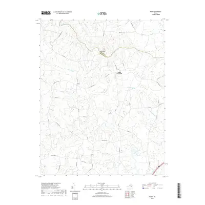
2019 Map of Purdy
USGS Topo · Published 2019About this map
The Nottoway River meanders along the boundary of Sussex Co and Greenville Co, defining the northern reaches of this rural Virginia landscape. Central to the area is Purdy, a small settlement positioned at the intersection of Purdy Rd and State Rte 608. To the east, Fields Crossroads serves as another focal point for the network of local roads that weave through a terrain dominated by significant wetlands, including Otterdam Swamp and Moores Swamp.
Find a feature on this map
49 named features on this map. Tap any name to fly to it.
Don’t see what you’re looking for? This feature index may not catch every label — zoom into the map to look around manually.
Map Details
Editions of this 2019 Purdy Map
This is the sole edition of this map. No revisions or reprints were ever made.
Other maps of this area

1919 · Jarratt
USGS Topo · 1:62,500

1919 · Mc Kenney
USGS Topo · 1:48,000

1919 · Emporia
USGS Topo · 1:62,500

1919 · Arringdale
USGS Topo · 1:48,000

1920 · Arringdale
USGS Topo · 1:62,500

1921 · Mc Kenney
USGS Topo · 1:62,500

1942 · Arringdale
USGS Topo · 1:62,500

1942 · Emporia
USGS Topo · 1:62,500

1943 · Mc Kenney
USGS Topo · 1:62,500

1951 · Jarratt
USGS Topo · 1:62,500