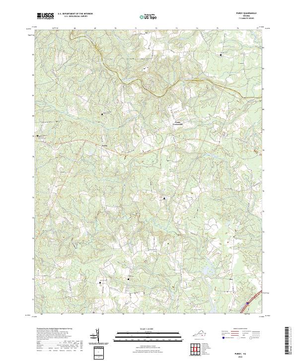
2022 Map of Purdy
USGS Topo · Published 2022About this map
Purdy and Fields Crossroads anchor this rural landscape where the Nottoway River forms the boundary between Greensville and Sussex counties. The terrain is defined by an extensive network of swampy drainages, including Moores Swamp, Otterdam Swamp, and Harris Swamp, which feed into major waterways like Three Creek. The human history of the area is well-preserved through numerous family and congregational burial grounds, such as the Trisvan Cem, Cowie Cem, and Grace Anglican Church Cem.
Find a feature on this map
52 named features on this map. Tap any name to fly to it.
Don’t see what you’re looking for? This feature index may not catch every label — zoom into the map to look around manually.
Map Details
Editions of this 2022 Purdy Map
This is the sole edition of this map. No revisions or reprints were ever made.
Other maps of this area

1919 · Jarratt
USGS Topo · 1:62,500

1919 · Mc Kenney
USGS Topo · 1:48,000

1919 · Emporia
USGS Topo · 1:62,500

1919 · Arringdale
USGS Topo · 1:48,000

1920 · Arringdale
USGS Topo · 1:62,500

1921 · Mc Kenney
USGS Topo · 1:62,500

1942 · Arringdale
USGS Topo · 1:62,500

1942 · Emporia
USGS Topo · 1:62,500

1943 · Mc Kenney
USGS Topo · 1:62,500

1951 · Jarratt
USGS Topo · 1:62,500