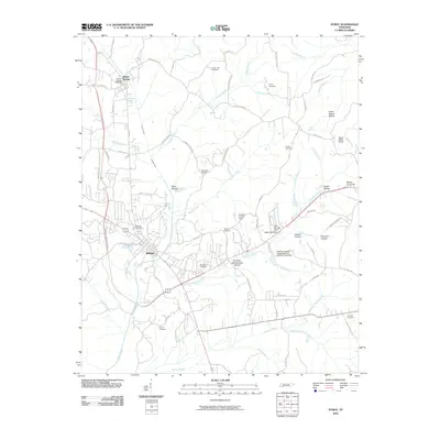
2010 Map of Purdy
USGS Topo · Published 2010About this map
Cypress Creek and its many tributaries, including Hendrix Branch and Simpson Branch, carve a network of hollows through this McNairy County landscape. The area is defined by its small agricultural settlements and a high density of rural burial grounds, such as Bethesda Cemetery and Chapel Hill Cemetery. A notable transition in land use is visible near the McNairy County Farm, where the terrain shifts toward more modern infrastructure like the Robert Sibley Airport. In the eastern reaches, the geography becomes increasingly defined by named drainages such as Sulphur Branch and Crooked Creek, alongside numerous family-named landmarks like Austin Hollow and Emmons Hollow. The road network, including the Old Stage Rd, reflects historical travel corridors that once linked these isolated hollows and farming communities.
Find a feature on this map
87 named features on this map. Tap any name to fly to it.
Don’t see what you’re looking for? This feature index may not catch every label — zoom into the map to look around manually.
Map Details
Editions of this 2010 Purdy Map
This is the sole edition of this map. No revisions or reprints were ever made.
Other maps of this area

1936 · Leapwood
USGS Topo · 1:24,000

1936 · Purdy
USGS Topo · 1:24,000

1936 · Stantonville
USGS Topo · 1:24,000

1936 · Michie
USGS Topo · 1:24,000

1936 · Mt. Peter
USGS Topo · 1:24,000

1949 · Leapwood
USGS Topo · 1:24,000

1949 · Mt. Peter
USGS Topo · 1:24,000

1949 · Purdy
USGS Topo · 1:24,000

1949 · Stantonville
USGS Topo · 1:24,000

1949 · Michie
USGS Topo · 1:24,000