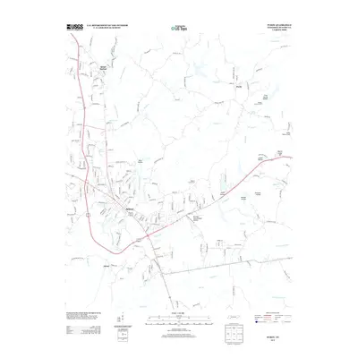
2013 Map of Purdy
USGS Topo · Published 2013About this map
Selmer serves as the central hub of this West Tennessee landscape, where the confluence of several major drainage systems, including the channelized Cypress Creek Ditch and its tributaries like Hendrix Br, shapes the local geography. The settlement pattern reflects a mix of small-town development and rural agricultural stretches, anchored by Bethel Springs to the north and the historic community of Purdy to the northeast. The terrain is defined by numerous named hollows, such as Joplin Hollow and Emmons Hollow, which indicate the dissected nature of the hills surrounding the larger stream valleys. Significant local infrastructure is evident in the inclusion of the Robert Sibley Airport and the McNairy County Farm. This 2013 record captures the modern layout of the county seat, balancing civic spaces with the enduring names of family-landmarked features like Martin Camp Hill and Browder Schoolhouse Hollow.
Find a feature on this map
182 named features on this map. Tap any name to fly to it.
Don’t see what you’re looking for? This feature index may not catch every label — zoom into the map to look around manually.
Map Details
Editions of this 2013 Purdy Map
This is the sole edition of this map. No revisions or reprints were ever made.
Other maps of this area

1936 · Leapwood
USGS Topo · 1:24,000

1936 · Purdy
USGS Topo · 1:24,000

1936 · Stantonville
USGS Topo · 1:24,000

1936 · Michie
USGS Topo · 1:24,000

1936 · Mt. Peter
USGS Topo · 1:24,000

1949 · Leapwood
USGS Topo · 1:24,000

1949 · Mt. Peter
USGS Topo · 1:24,000

1949 · Purdy
USGS Topo · 1:24,000

1949 · Stantonville
USGS Topo · 1:24,000

1949 · Michie
USGS Topo · 1:24,000