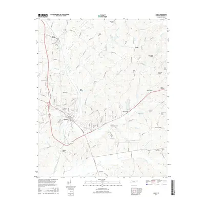
2016 Map of Purdy
USGS Topo · Published 2016About this map
Selmer serves as a central hub on this West Tennessee landscape, where the local terrain is deeply etched by the Cypress Creek Ditch and its various tributaries. The town’s grid and municipal growth contrast with the surrounding rural reaches of McNairy County, where smaller settlements like Bethel Springs and the crossroads at Purdy maintain their historical presence. A significant geographical feature is the Tennessee Valley Divide, which separates the drainage basins and influences the path of local waterways like Crooked Cr and Sandy Cr.
Find a feature on this map
162 named features on this map. Tap any name to fly to it.
Don’t see what you’re looking for? This feature index may not catch every label — zoom into the map to look around manually.
Map Details
Editions of this 2016 Purdy Map
This is the sole edition of this map. No revisions or reprints were ever made.
Other maps of this area

1936 · Leapwood
USGS Topo · 1:24,000

1936 · Purdy
USGS Topo · 1:24,000

1936 · Stantonville
USGS Topo · 1:24,000

1936 · Michie
USGS Topo · 1:24,000

1936 · Mt. Peter
USGS Topo · 1:24,000

1949 · Leapwood
USGS Topo · 1:24,000

1949 · Mt. Peter
USGS Topo · 1:24,000

1949 · Purdy
USGS Topo · 1:24,000

1949 · Stantonville
USGS Topo · 1:24,000

1949 · Michie
USGS Topo · 1:24,000