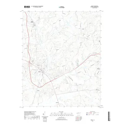
2019 Map of Purdy
USGS Topo · Published 2019About this map
Selmer and Bethel Springs anchor the western edge of this McNairy County landscape, where the terrain transitions toward the Tennessee Valley Divide in the east. The area is defined by a dense network of watercourses and named hollows, including Cypress Creek Ditch, Sandy Cr, and Turkey Cr. These drainage patterns shaped the placement of historic cemeteries that are scattered throughout the hills, such as Bethesda Cem and Warren Cem.
Find a feature on this map
78 named features on this map. Tap any name to fly to it.
Don’t see what you’re looking for? This feature index may not catch every label — zoom into the map to look around manually.
Map Details
Editions of this 2019 Purdy Map
This is the sole edition of this map. No revisions or reprints were ever made.
Other maps of this area

1936 · Leapwood
USGS Topo · 1:24,000

1936 · Purdy
USGS Topo · 1:24,000

1936 · Stantonville
USGS Topo · 1:24,000

1936 · Michie
USGS Topo · 1:24,000

1936 · Mt. Peter
USGS Topo · 1:24,000

1949 · Leapwood
USGS Topo · 1:24,000

1949 · Mt. Peter
USGS Topo · 1:24,000

1949 · Purdy
USGS Topo · 1:24,000

1949 · Stantonville
USGS Topo · 1:24,000

1949 · Michie
USGS Topo · 1:24,000