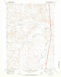
1970 Map of Purdy Reservoir
USGS Topo · Published 1973About this map
The Middle Fork Crazy Woman Creek and its neighboring forks converge across this high plains landscape, defining a network of drainages and irrigation efforts in central Wyoming. The presence of the Devoe Ditch and the Purdy Reservoir illustrates the critical role of water management in supporting the region's agricultural and ranching activities. Rising above the creek bottoms, the TA Hills provide a significant geographic anchor in an area characterized by family-named landmarks like George Hess Draw and O'Malley Draw.
Find a feature on this map
23 named features on this map. Tap any name to fly to it.
Don’t see what you’re looking for? This feature index may not catch every label — zoom into the map to look around manually.
Map Details
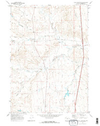
Editions of this 1970 Purdy Reservoir Map
2 editions found
Other maps of this area

1900 · Fort McKinney
USGS Topo · 1:125,000

1903 · Fort McKinney
USGS Topo · 1:125,000

1955 · Sheridan
USGS Topo · 1:250,000

1955 · Arminto
USGS Topo · 1:250,000

1958 · Sheridan
USGS Topo · 1:250,000

1958 · Arminto
USGS Topo · 1:250,000

1961 · Antelope Draw
USGS Topo · 1:24,000

1961 · Schlict Draw
USGS Topo · 1:24,000

1962 · Sheridan
USGS Topo · 1:250,000

1962 · Arminto
USGS Topo · 1:250,000