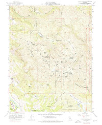
1958 Map of Purdys Gardens
USGS Topo · Published 1976About this map
Cow Mountain Ridge and the Mayacmas Mountains dominate this 1950s landscape, illustrating the complex terrain of the Mendocino and Lake County border. The survey details a network of ridges and basins, such as Ashmore Ridge and Red Mtn Basin, where family-named landmarks like Eaglepoint Ranch, Kelsey Cabin, and James Cabin suggest a history of high-country ranching and seasonal occupation. Along the southwestern corner, the Russian River valley serves as a transportation corridor featuring the Northwestern Pacific railroad and the Redwood Highway. Near the river, institutions like the Hopland Field Sta (Univ of Calif) and the Hopland Indian Reservation are clearly delineated. Numerous remote outposts including Fountain Of Youth Camp and Jerky Camp are connected only by jeep trails, reflecting the area's mid-century character before modern development.
Find a feature on this map
79 named features on this map. Tap any name to fly to it.
Don’t see what you’re looking for? This feature index may not catch every label — zoom into the map to look around manually.
Map Details
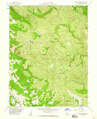
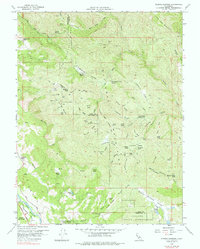
Editions of this 1958 Purdys Gardens Map
3 editions found
Other maps of this area

1920 · Ukiah
USGS Topo · 1:62,500

1921 · Kelseyville
USGS Topo · 1:62,500

1938 · Lakeport
USGS Topo · 1:62,500

1938 · Hopland
USGS Topo · 1:62,500

1943 · Kelseyville
USGS Topo · 1:62,500

1943 · Hopland
USGS Topo · 1:62,500

1944 · Ukiah
USGS Topo · 1:62,500

1944 · Hopland
USGS Topo · 1:62,500

1947 · Santa Rosa
USGS Topo · 1:250,000

1949 · Santa Rosa
USGS Topo · 1:250,000