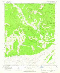
1963 Map of Purgatory Canyon
USGS Topo · Published 1966About this map
Ute Mountain Indian Reservation land dominates this 1963 survey, where high desert plateaus are dissected by a complex network of canyons including Purgatory Canyon and Navajo Canyon. The landscape records a mid-century industrial expansion into the high country, with numerous Gas Wells and Oil Wells scattered across the Barker Dome and the Verde Oil Field. This energy infrastructure is supported by a network of pipelines and service routes like Dome Road and various unnamed Jeep Trails that navigate the broken terrain.
Find a feature on this map
36 named features on this map. Tap any name to fly to it.
Don’t see what you’re looking for? This feature index may not catch every label — zoom into the map to look around manually.
Map Details
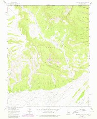
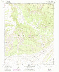
Editions of this 1963 Purgatory Canyon Map
3 editions found
Other maps of this area

1889 · Chaco
USGS Topo · 1:250,000

1892 · Chaco
USGS Topo · 1:250,000

1912 · Soda Canyon
USGS Topo · 1:62,500

1913 · Red Mesa
USGS Topo · 1:62,500

1915 · Soda Canyon
USGS Topo · 1:62,500

1954 · Shiprock
USGS Topo · 1:250,000

1956 · Cortez
USGS Topo · 1:250,000

1958 · Cortez
USGS Topo · 1:250,000

1958 · Shiprock
USGS Topo · 1:250,000

1959 · Shiprock
USGS Topo · 1:250,000