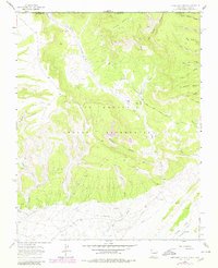
1963 Map of Purgatory Canyon
USGS Topo · Published 1980About this map
The Ute Mountain Indian Reservation occupies much of this landscape, where the high desert terrain is deeply incised by a complex network of arroyos and canyons. Significant industrial activity is evident in the northern and southern sectors, marked by the Barker Creek Gas Field and the Verde Oil Field. These energy developments are interconnected by a system of pipelines and a Dome Road that navigates the difficult topography. Cultural history is anchored by the presence of the Mokie Indian Ruin situated near the northern border, providing a glimpse into the ancient habitation of the region. The map captures a transition between the elevated Dome and the lower drainage basins of Barker Arroyo and Little Barker Arroyo, which feed toward Blue Lake and Jones Lake. This 1979 photorevision also highlights the intricate series of side canyons like Coalbank Canyon and Oak Springs Canyon that define the eastern boundary with La Plata County.
Find a feature on this map
37 named features on this map. Tap any name to fly to it.
Don’t see what you’re looking for? This feature index may not catch every label — zoom into the map to look around manually.
Map Details
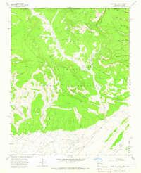
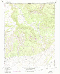
Editions of this 1963 Purgatory Canyon Map
3 editions found
Other maps of this area

1889 · Chaco
USGS Topo · 1:250,000

1892 · Chaco
USGS Topo · 1:250,000

1912 · Soda Canyon
USGS Topo · 1:62,500

1913 · Red Mesa
USGS Topo · 1:62,500

1915 · Soda Canyon
USGS Topo · 1:62,500

1954 · Shiprock
USGS Topo · 1:250,000

1956 · Cortez
USGS Topo · 1:250,000

1958 · Cortez
USGS Topo · 1:250,000

1958 · Shiprock
USGS Topo · 1:250,000

1959 · Shiprock
USGS Topo · 1:250,000